And Then It Ended

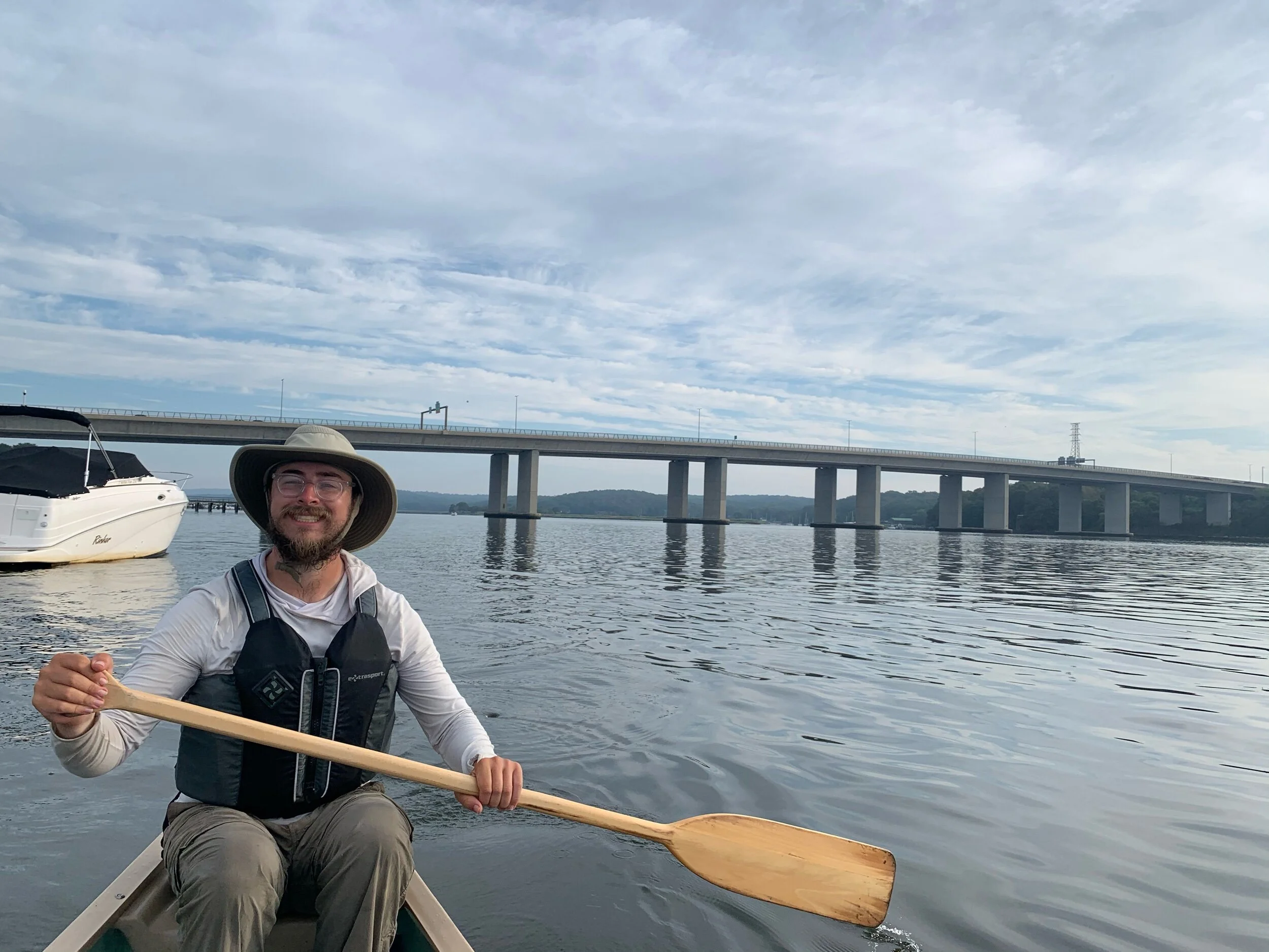
The first 200 miles of the Connecticut River swing East then West on the southern trek that forms the Vermont and New Hampshire border. The slow progress of oxbows and headwinds is just the training course for the much straighter, rapidly changing, final 200 miles. This second half consisting of Massachusetts and Connecticut, flies by much quicker. For most of the journey a series of reservoirs formed a predictable pattern of farmland, houses, town, dam. In Massachusetts the farms fell behind leaving houses and towns much closer in proximity than before. This brought more opportunities for resupply, and the constant dull rush of the interstate just beyond the trees. Once past the ruins of the last dam, the constant line of houses evolved into mansions of the coastal elite whose sprawling summer gardens reached the riverbank. It seems we spent a leisurely weekend napping and then suddenly we had reached the ocean. We took one last bridge pic and the first lighthouse pic. We finished, and we had seen it all (except moose).

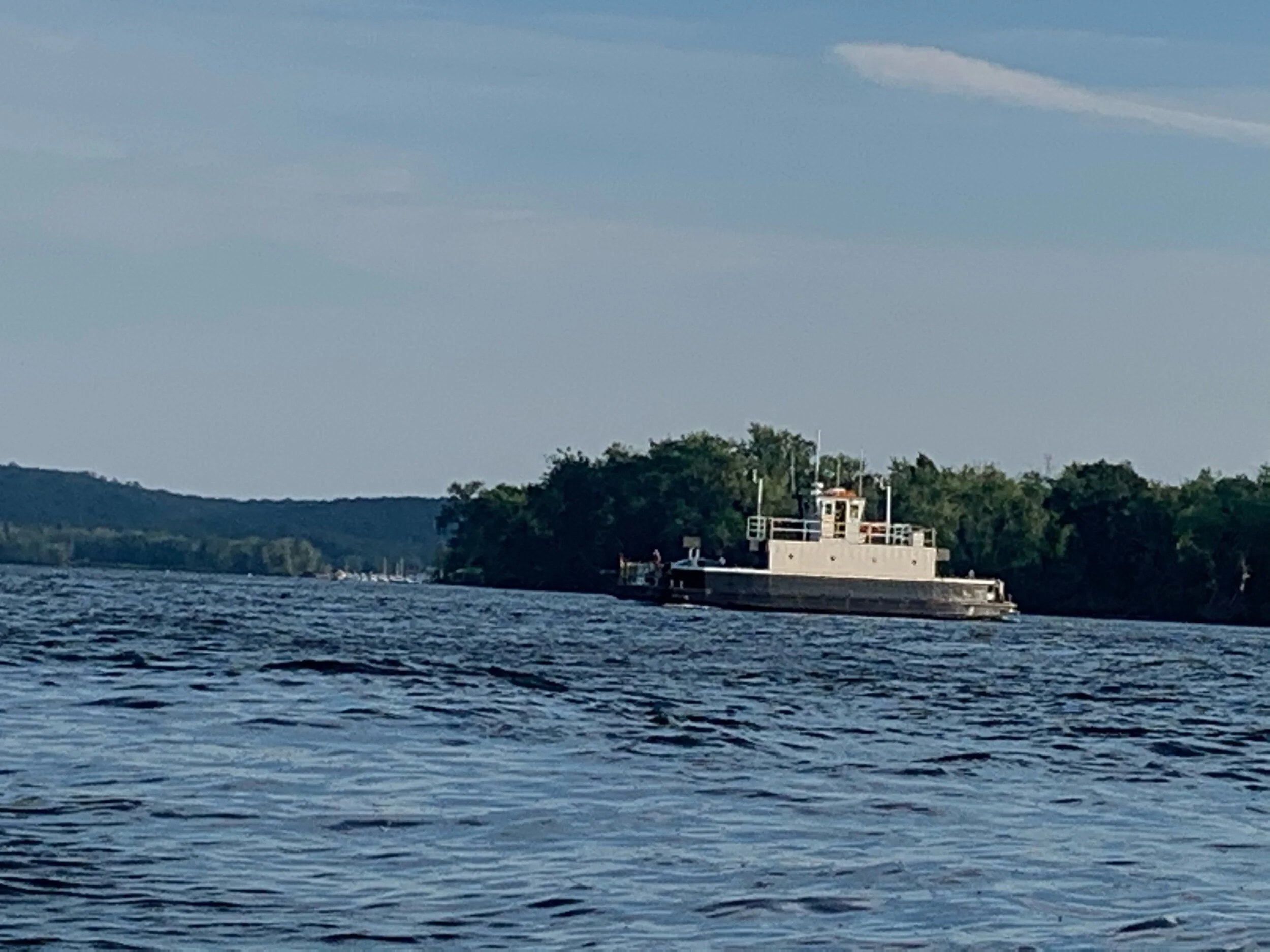
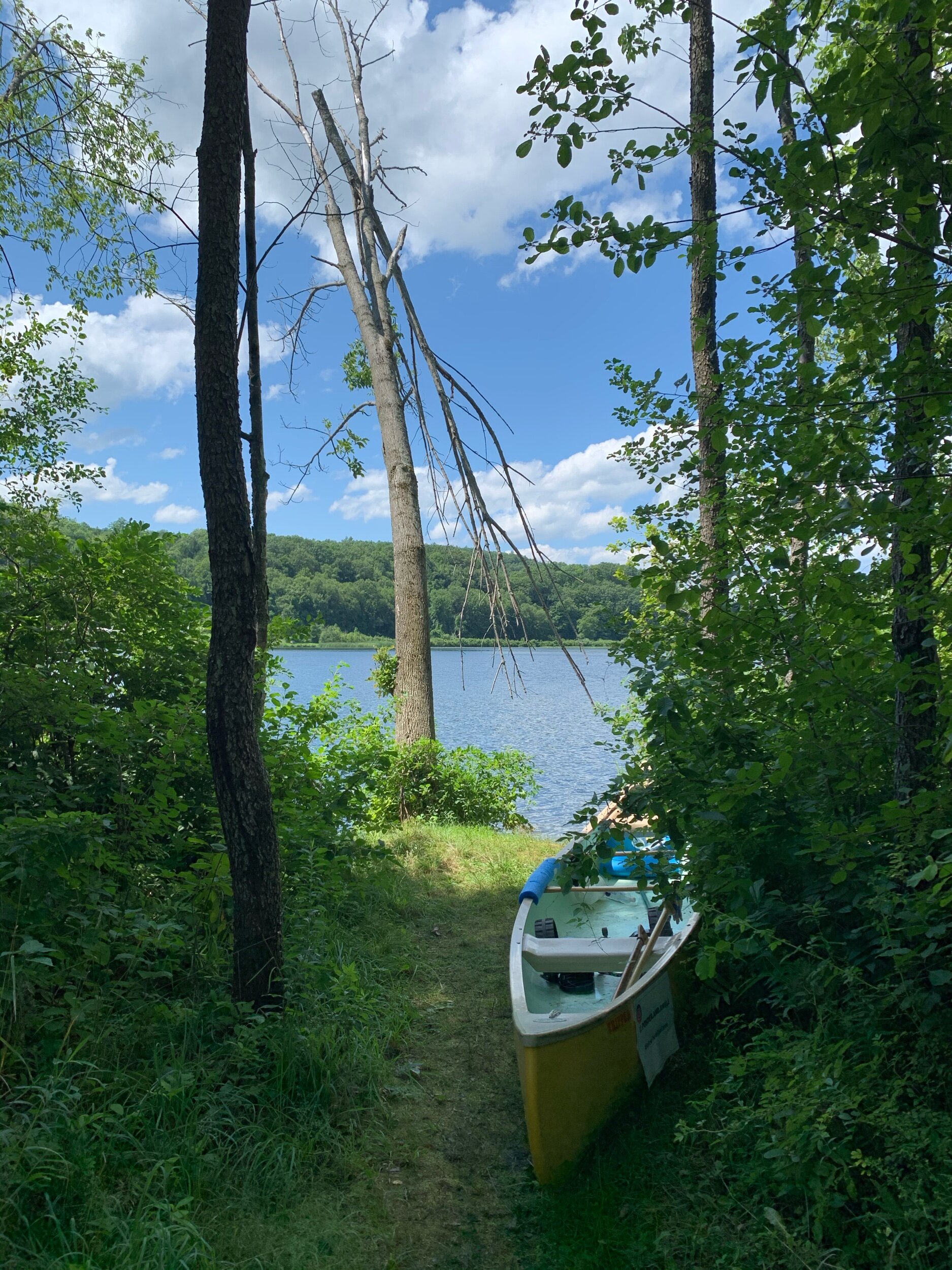
Sculls were the only vessels we saw on the glassy early morning water, which was perfect for smooth paddling. By the afternoon, the water was anything but placid: cruise ships, fishing expeditions and weekend yachters sped past us in late sun. Our guide book splits the last 20 miles into separate east and west bank sections as it is inadvisable to cross the river without a motorized vessel. They are correct. The quick icy water from a series of mountain lakes on the border of Canada had given way to tidal salt marshes. Those ocean bound sported wakes that required immediate addressing; pushing walls of water toward our big yellow canoe. The change was astounding.  

The trip was not without risk, but overall it was thrilling and relationship expanding. We learned a great deal about ourselves and each other, while increasing our ability to communicate: If you're looking for some extreme team building, we recommend hauling a 17 foot canoe up rocky embankments and down steep trails over 400 miles of river. One thing we learned is that a canoe trip is about 3X more fun than backpacking, for us, anyway. As they say, “Hike your own hike!” or paddle in our case. The Class I-V rapids found throughout the length of the river were particularly exciting, and a great improvement to our communication. Our most exciting encounter being a successful run of Sumner Falls! Despite the many dams, patches of quick-water still occur, although the famous 15 Mile Falls lies sunk beneath the reservoirs of Comerford, McIndoes, and Moore Dams. These fast stretches were not an issue for us because we paddled during August at very low water levels. Most of the time we were only at risk of getting stuck on a sandbank in the center of the river. We are happy to report we never flipped! Although the water spun us around several times…currents can be tricky. 

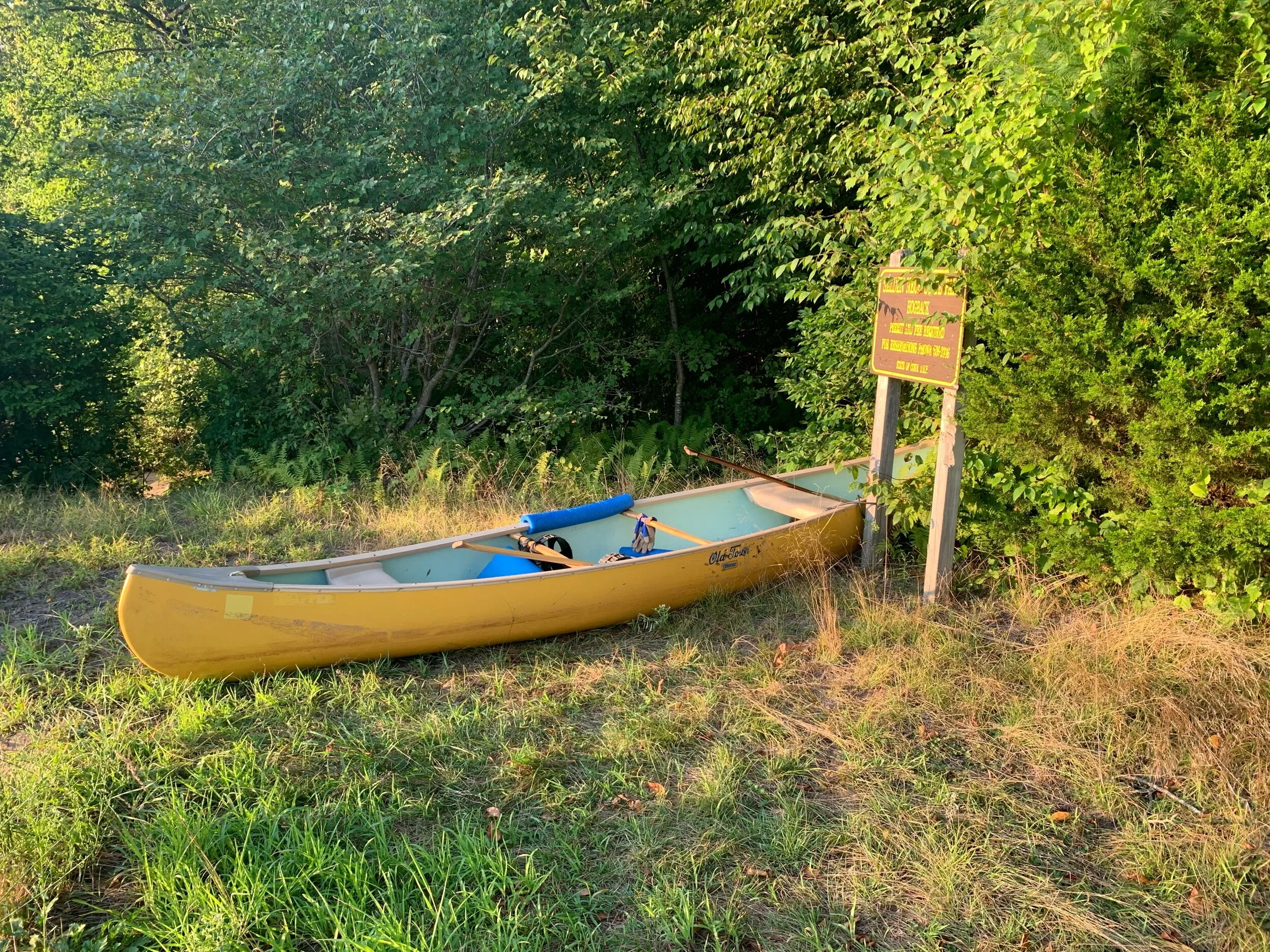
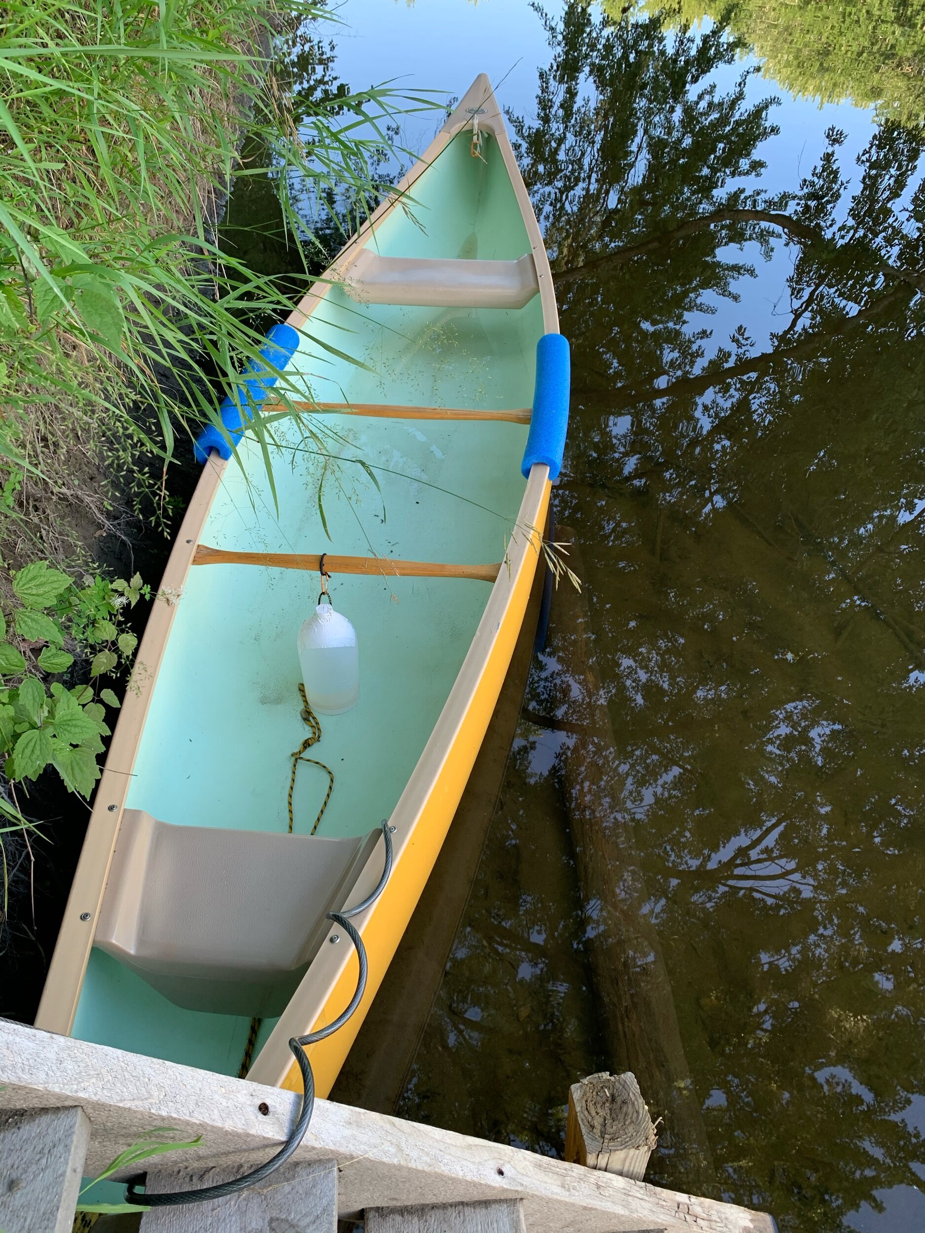
The transformation which we did not expect, happened to our canoe. Nights spent in the water led to lines of scum on the outside, while nights locked to trees led to all sorts of critters inside. Fairly early on we had a couple of wolf spider stowaways. They happily munched on all the crickets, slugs, and beetles that would find their way onto our boat at night. Within a week, we had our own floating ecosystem. Our inhabitants were joined by daily visits from dragonflies, bees, and butterflies who needed a break crossing the often wide river. Neither rain nor constant movement convinced anyone to leave our yellow transport, and only the final scrub back home evicted our longtime pest management friends; they now take up residence in the yard.

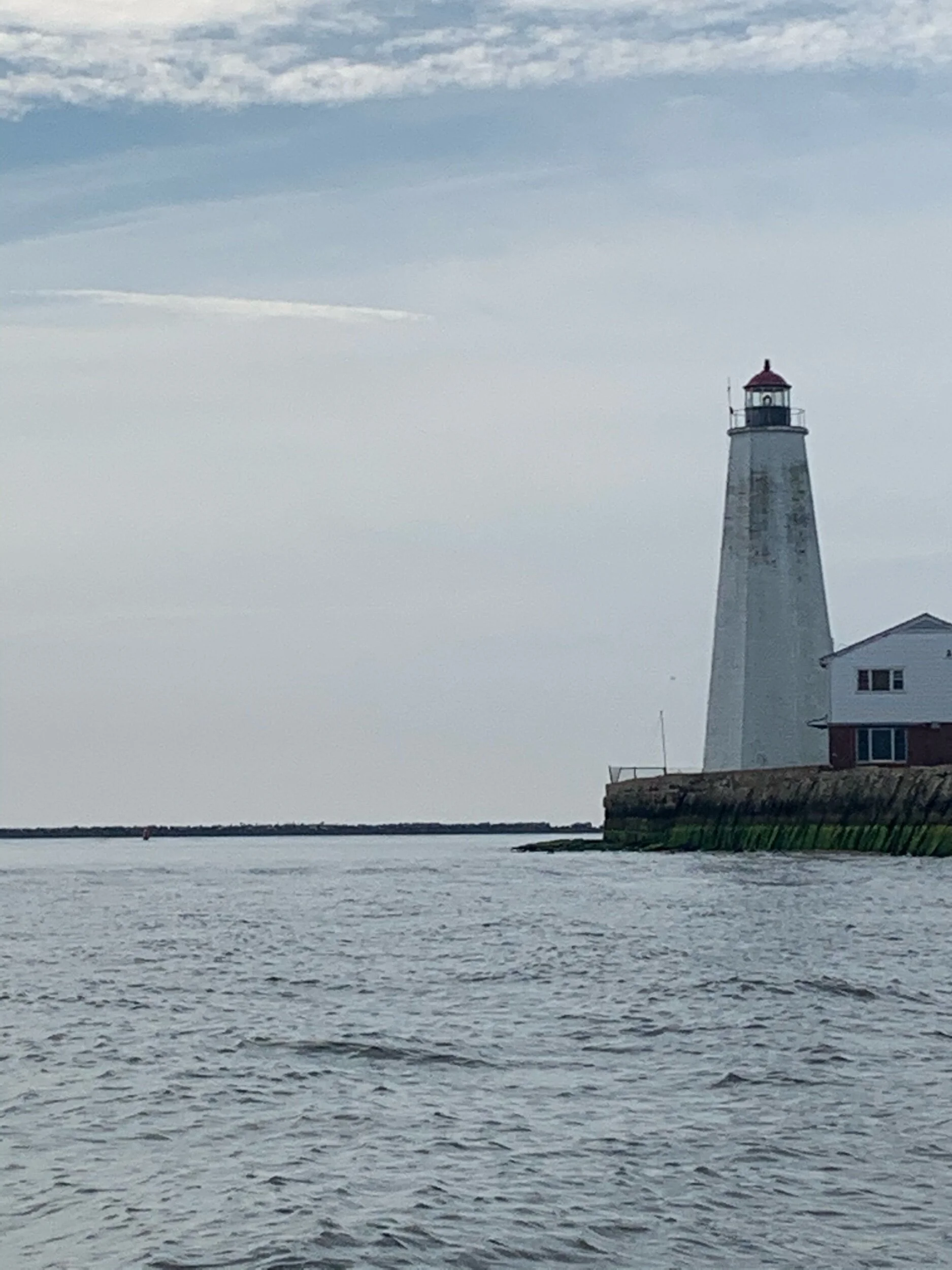
 We reached the mouth of the river in the morning fog, with Lynde Point Light as our destination on the right bank. After more than a month on a river with tiny dancing sandpipers, a lighthouse is an odd thing to see. Beyond the first another one stood, Saybrook Breakwater Light, guarding the mouth of the channel. Land fell away to the left and then to the right as we approached the tower. And then it ended…much quicker than it seemed would happen. We celebrated our achievement and took numerous triumphant selfies. We obviously knew that the ocean was a challenge for another day, and a larger boat. A short trip back upstream found us at a marina to wait for our good friend. He had agreed to come get us and our unwieldy large canoe. Having returned safe and sound to the Cape, we now ponder the keepsakes and memories from our adventure.

But Where is Your Car?

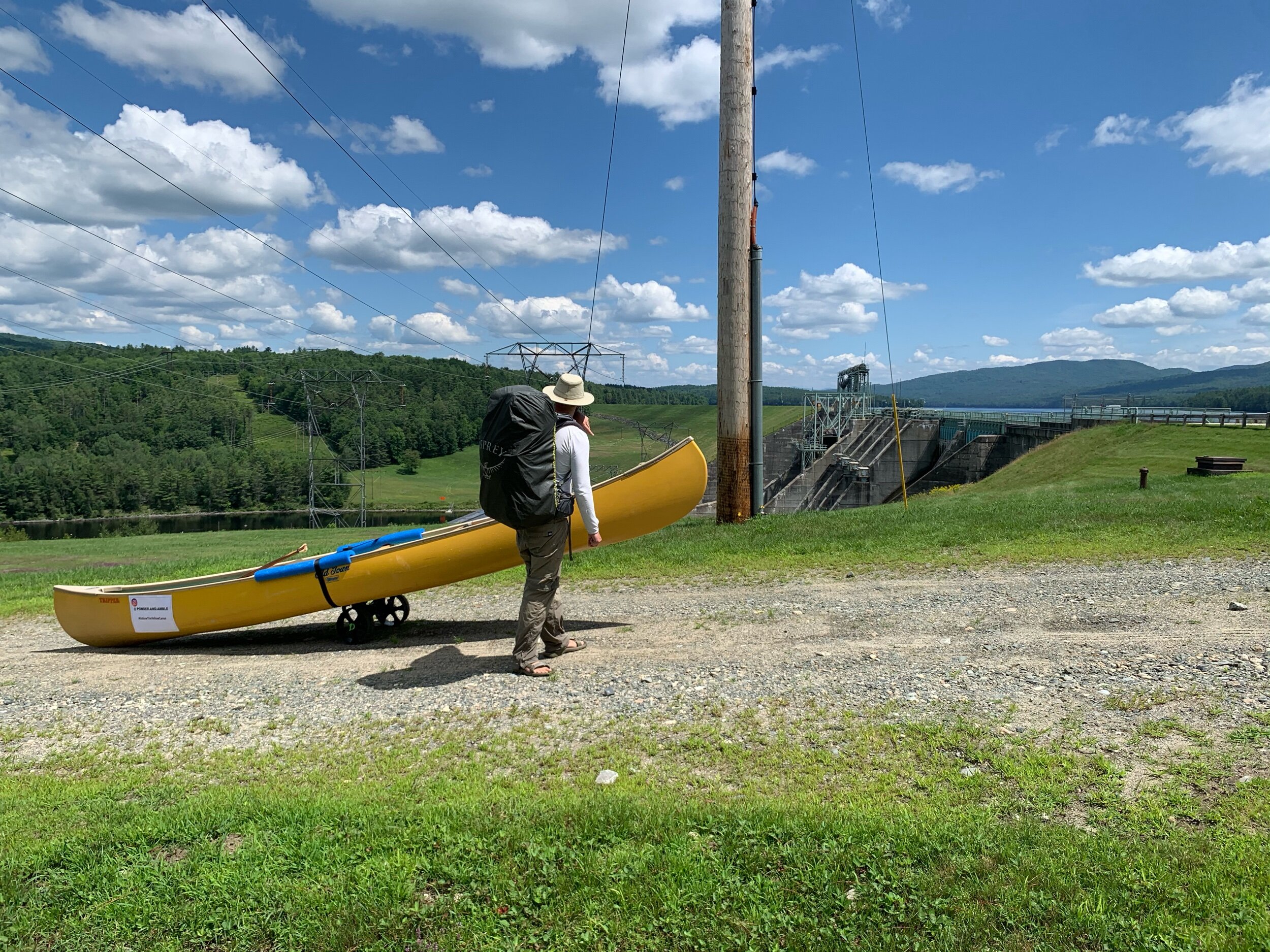
It is the question we are constantly asked no matter if we are on water or on wheels. People intrigued by our large yellow canoe, pair of portage wheels, or odd location come up to us full of questions.

IMG_9518.jpeg

Where are you From?

We live at the Cape, but before that we were from Boston. No, no we don’t have the accent. Yeah it is super funny… We both went to school in Boston and then stayed for jobs. We love your bookstore! Where is your section on architecture?

IMG_7937.jpeg
IMG_8504.jpeg

Where Did You Put In?

We started in Lake Francis, which is just after the Connecticut Lakes. It was basically Canada. When we portaged through Pittsburg NH we crossed the road that led to the border. In the beginning, the river ox bowed constantly making the miles slow. These days the water is much straighter leading to longer distances.

IMG_8965.jpeg
IMG_9261.jpeg

So this is Where You Parked?

Well no… We are paddling from the source to the sea, so we will be finishing at a lighthouse on Long Island Sound! We will have to be careful because the last 50 miles will have a tide to work with. We learned quickly in the headwaters which were shallow rocky places that our canoe has the tendency to go sideways.

IMG_8698.jpeg
IMG_9661.jpeg

How long have you been Paddling?

It has been about a month and it will probably be another couple of weeks or so. Yes, that is a long time to spend outside, but the wildlife has been impressive. Bald eagles make daily appearances, and a while back some Peregrin falcons gave us a wild show. We listen to music and podcasts, but unfortunately still get the news 🙁

IMG_9475.jpeg
IMG_9925.jpeg
IMG_0127.jpeg

Have you been Camping?

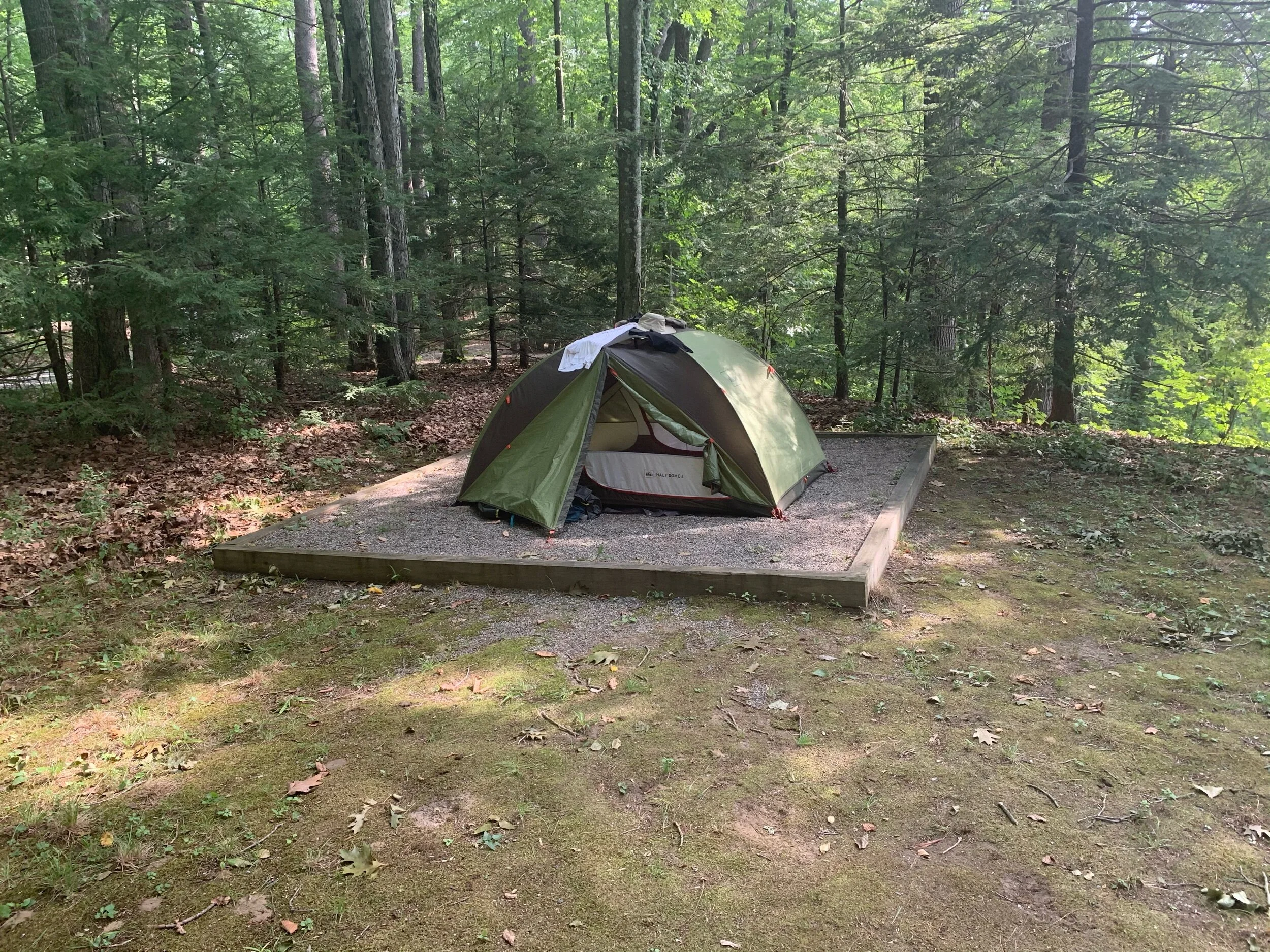
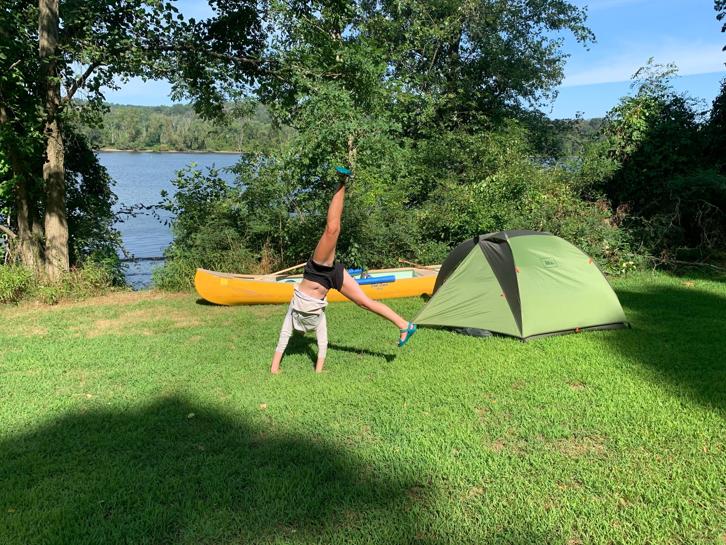
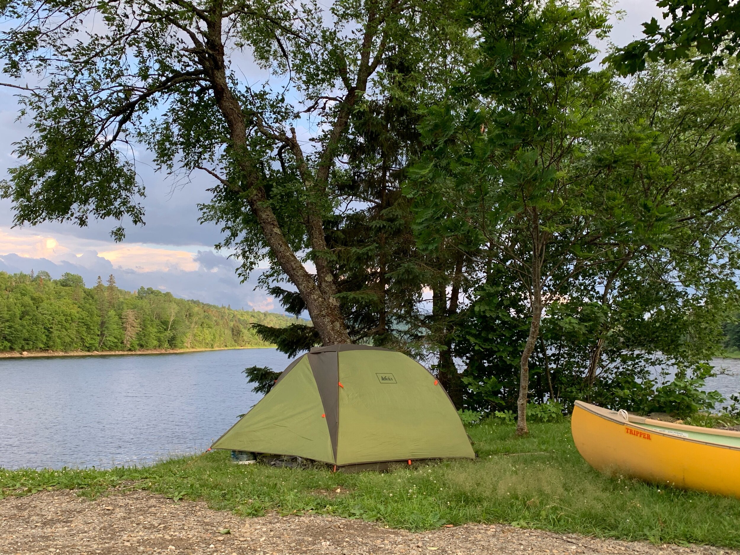
Yes! There are all kinds of primitive campsites along the river and maintained by different groups: Watersheds, youth groups, ATC (Appalachian Trail Conservancy) private landowners, etc. There are also family campgrounds where we can do the necessary laundry and take showers. Sometimes there are even sites near cities and the day can be spent in town. We love your bookstore! Where is your architecture section?

88C04D56-31D5-4428-812A-6D2E29558190.jpeg
IMG_0308.jpeg

Where do you Buy Food?

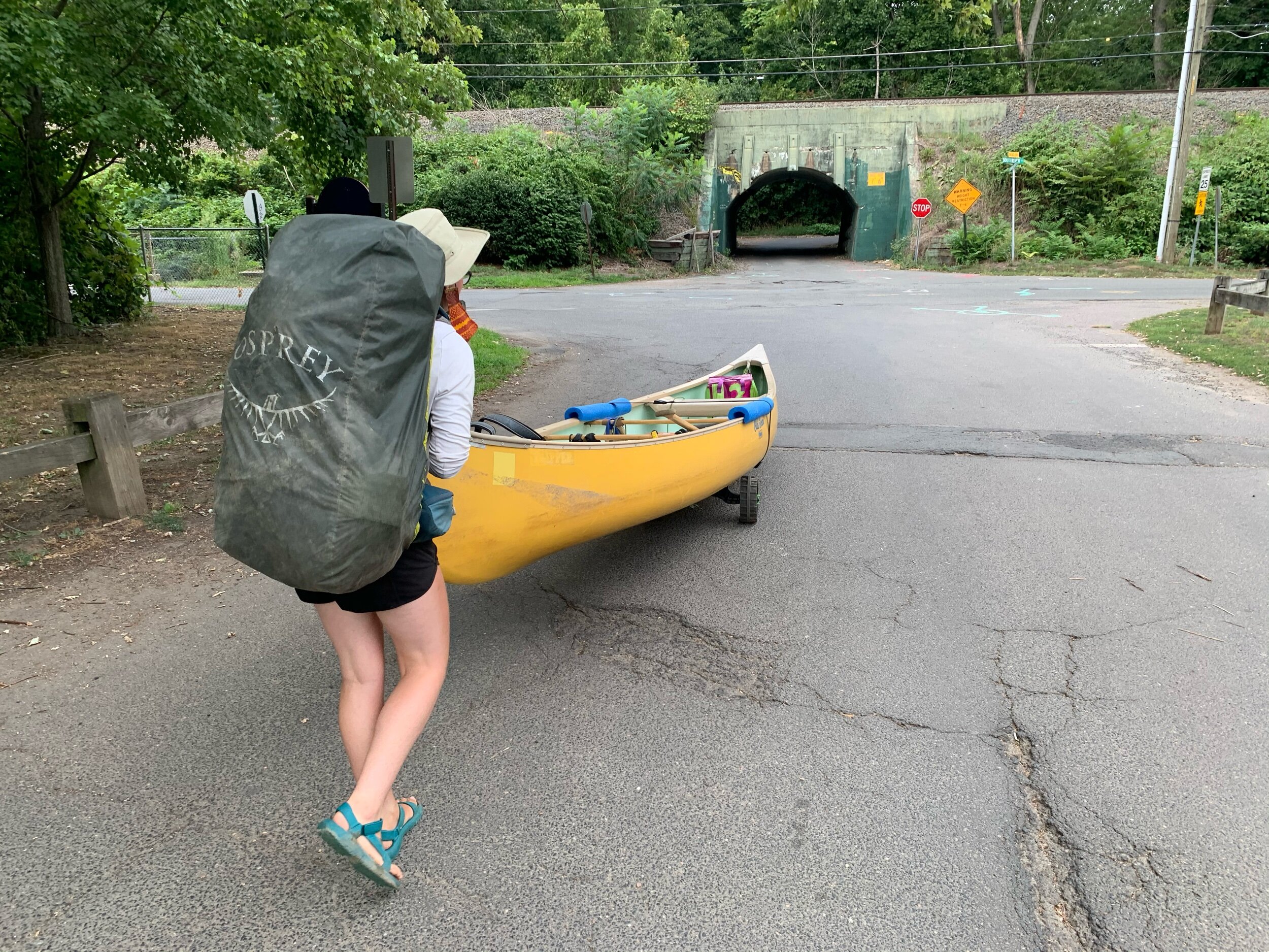
Many communities are based around the river. Early timber harvests, canals, water power or railroads are focused in the long river valley: the original interstate. Every riverbank town has a dam we must portage around, and we usually buy food on the walk. Industrial developments and later highway constructions cut these towns off from their river-fronts. It is funny that many people forget the river is something one can still traverse! You can get out there too!

D828ED94-483C-4D36-9971-41D4972CA586.jpeg
IMG_0178.jpeg

Why are you Doing This?

Earlier this year we began hiking the Appalachian Trail, but due to rising coronovirus rates and a surge in popularity of national parks we decided to leave the (former) solitude of the woods. We spent the next month hiding in a friend’s basement in Virginia, they were very kind to us. When things began to reopen, we wondered how we could continue our outdoor intense team-building exercise, but in a more distanced and safe way. We decided paddling from source to sea on the Connecticut River would be a great way to cross four states off our earlier trek, and stay local.

IMG_0289.jpeg

But where is Your Car?

We don't have one here? We love your bookstore! Do you ship?

IMG_0300.jpeg

But Where is Your Car?!

New England Towns

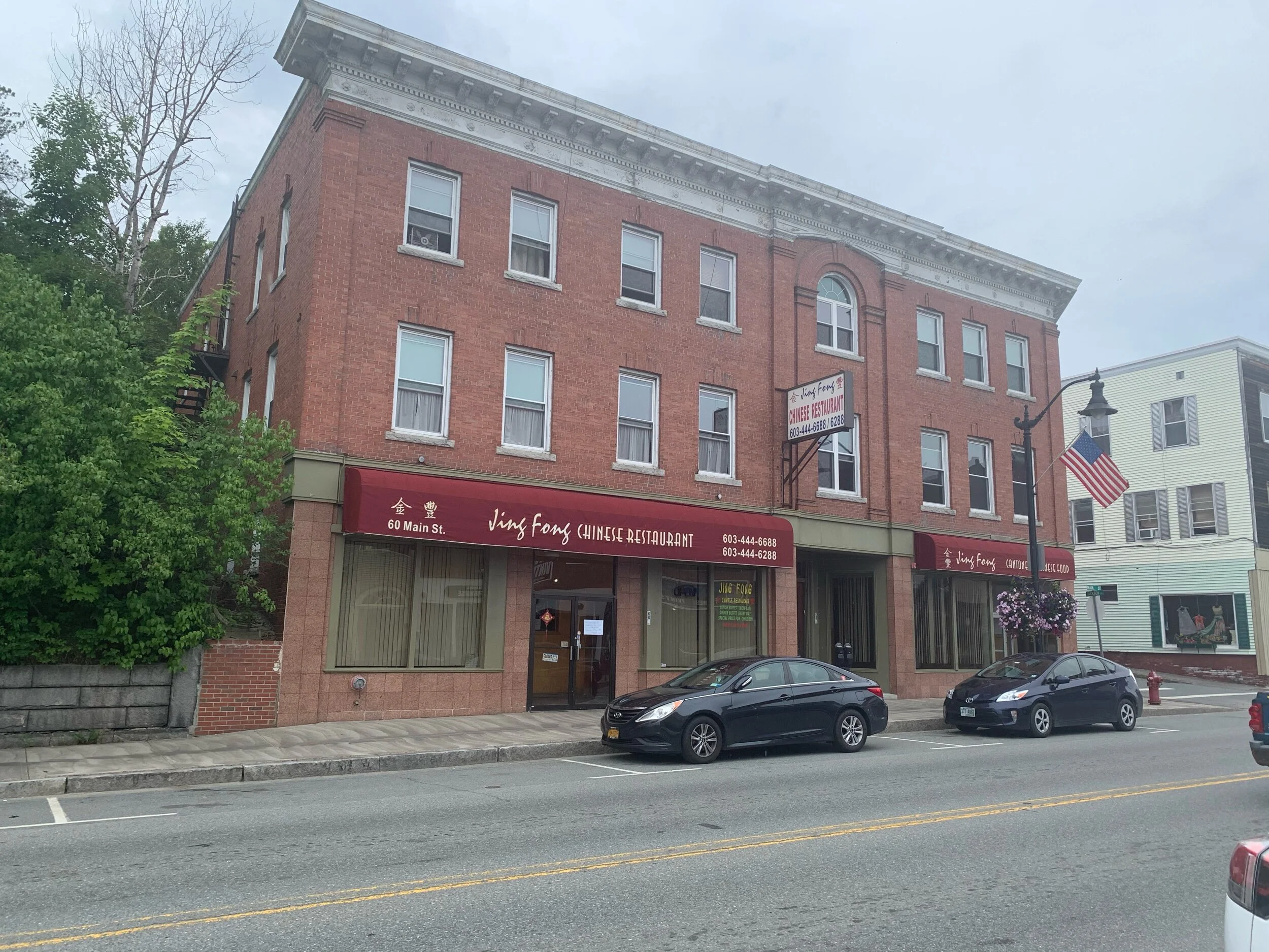
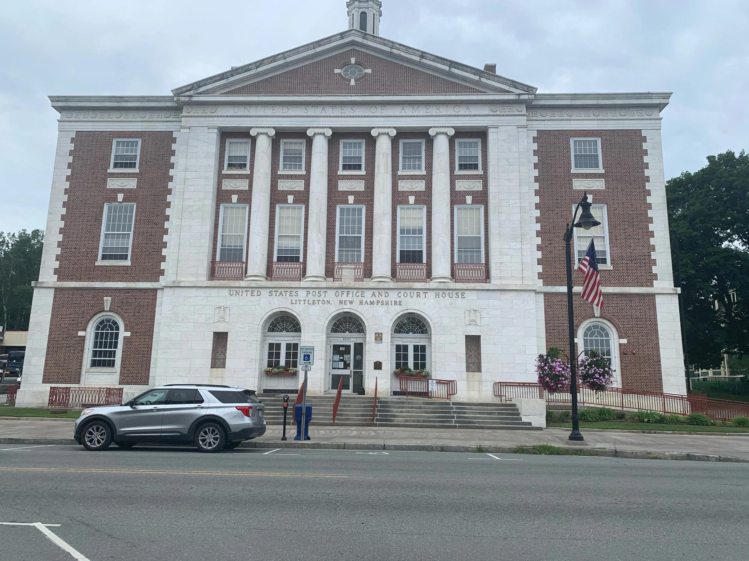
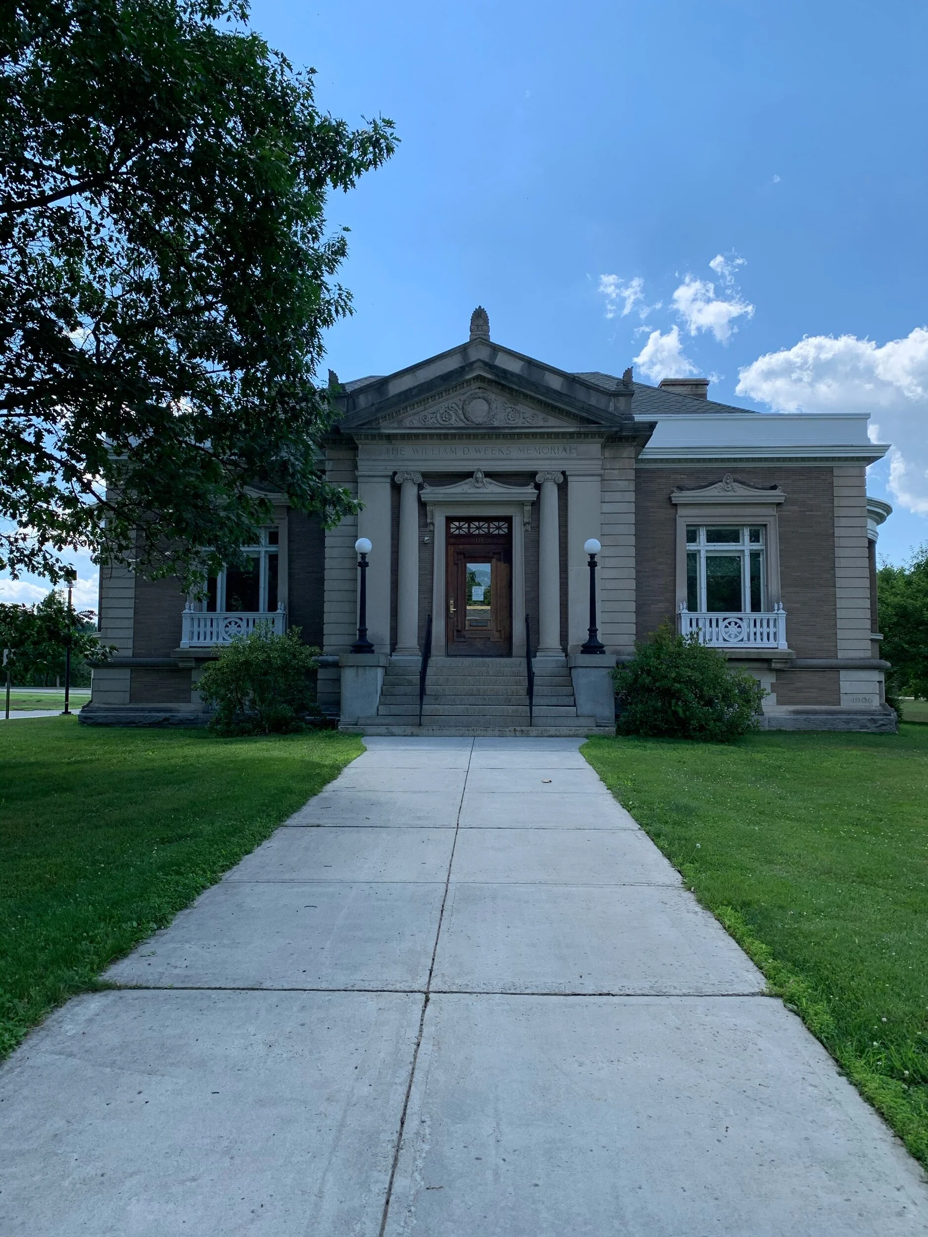
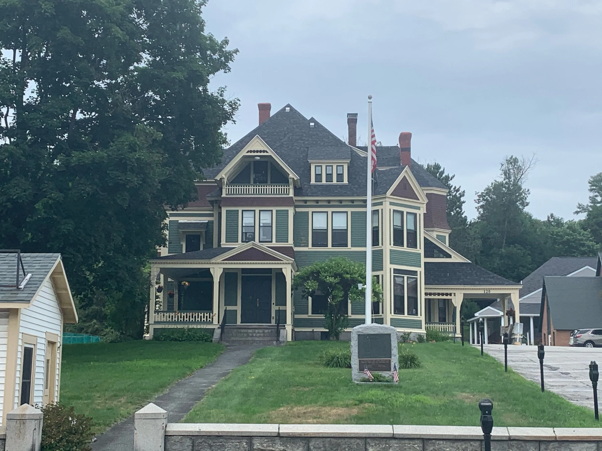
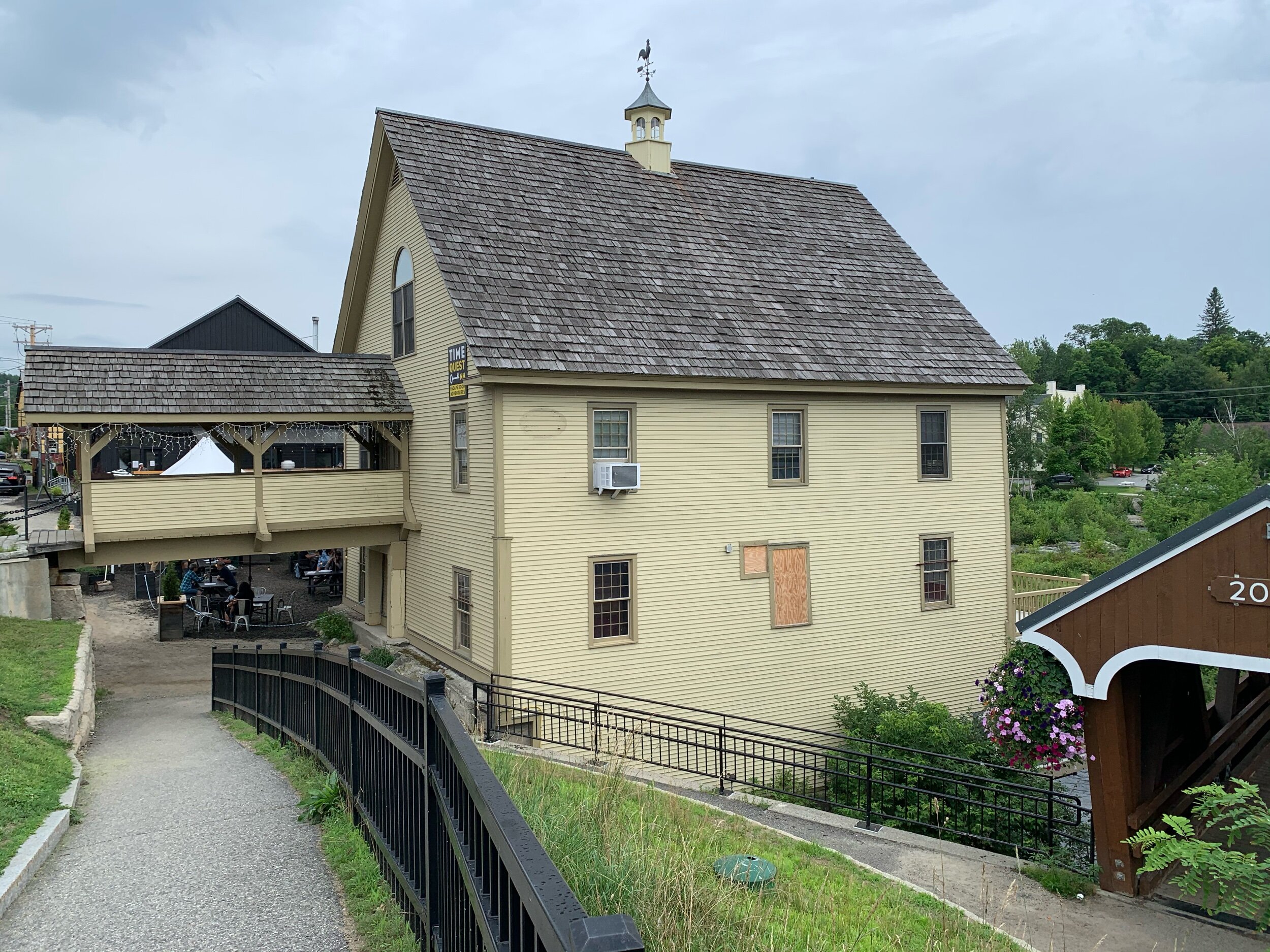
Our journey down the Connecticut River has brought us into all manners of New England towns. Some are just a post office and a library like Guildhall, some are the stopover of cruising motorcycles like Lancaster, while others still are the summer getaway destination of urbanites like Littleton or the residence of a row of Bullfinch Houses like Orford. Each is unique and interesting in their own right, usually sporting a main drag of delightful shops with a brewery or two. These towns right on the river are the best part of this trip and keep us unconcerned about resupplying.


The paddling difficulty has increased, as no matter which way this squiggly river turns, we are constantly in a headwind. (Metaphor anyone?) Crossing the reservoirs last week especially treacherous, and resulted us taking an extended stay in Littleton due to high winds. Littleton was fun! We stayed at the historic Thayer Inn, and visited what is probably the last true bodega outside NYC. After our extended stay, the winds held off just long enough to finish the reservoir at Moore Dam.

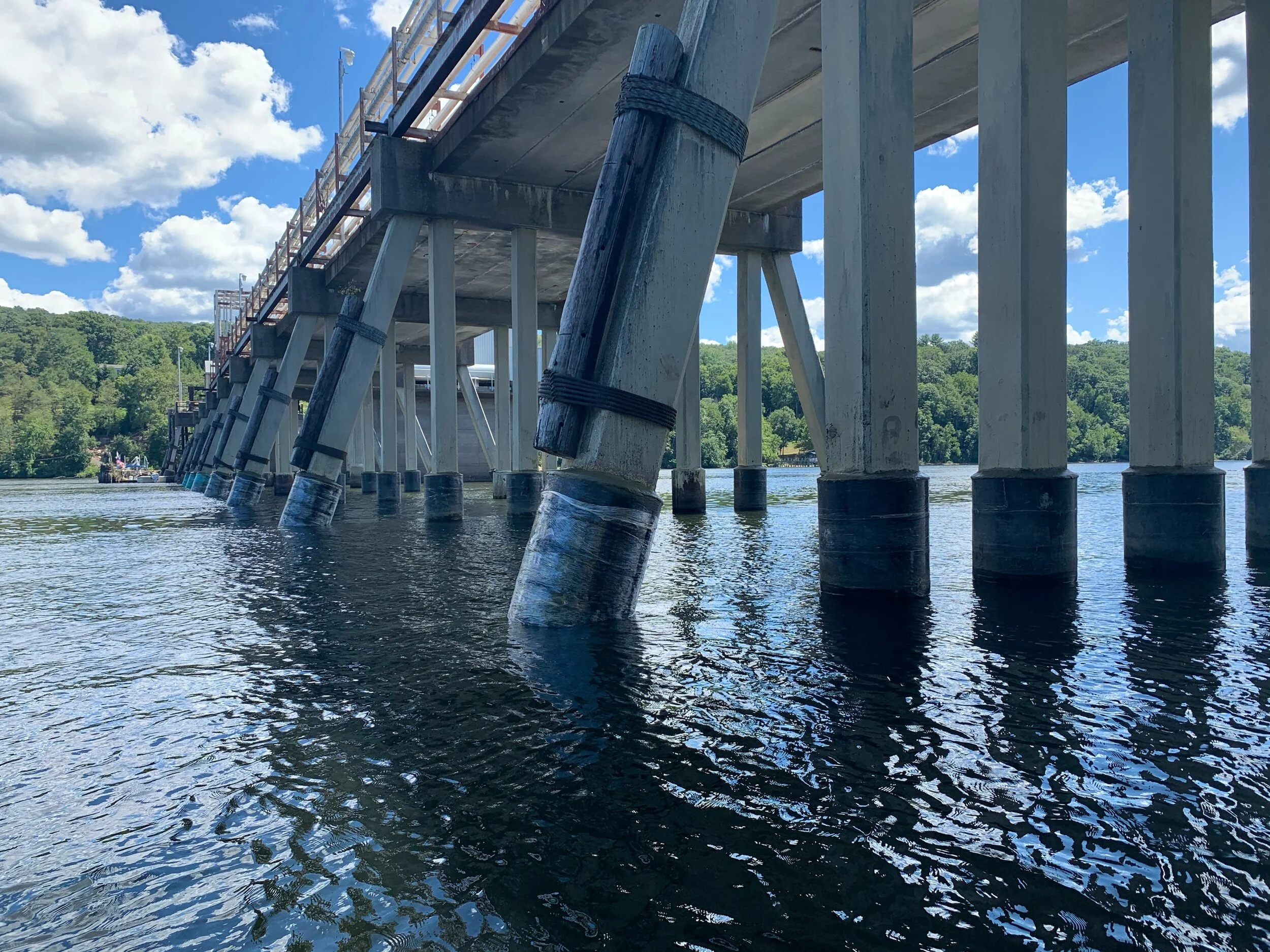
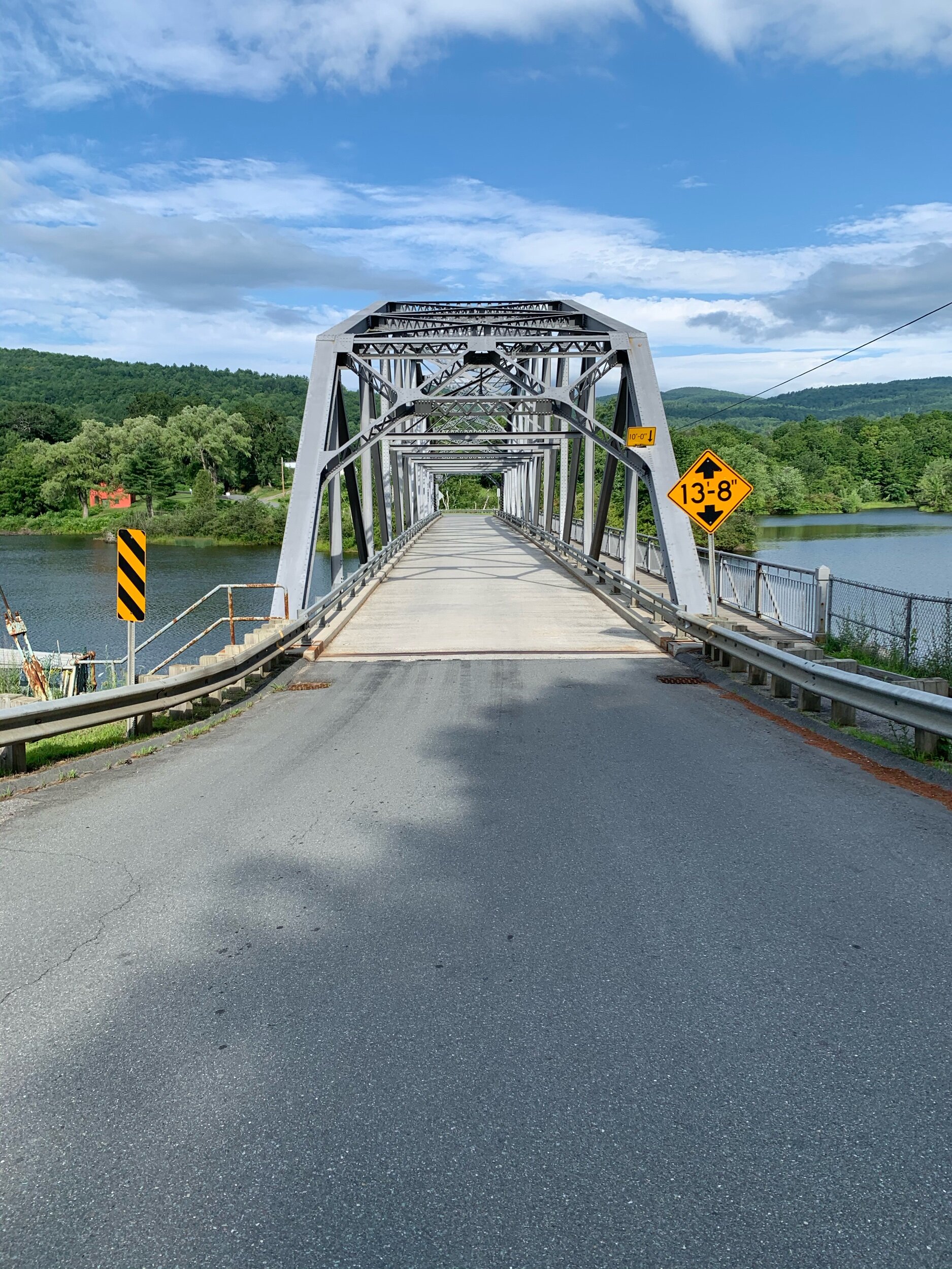
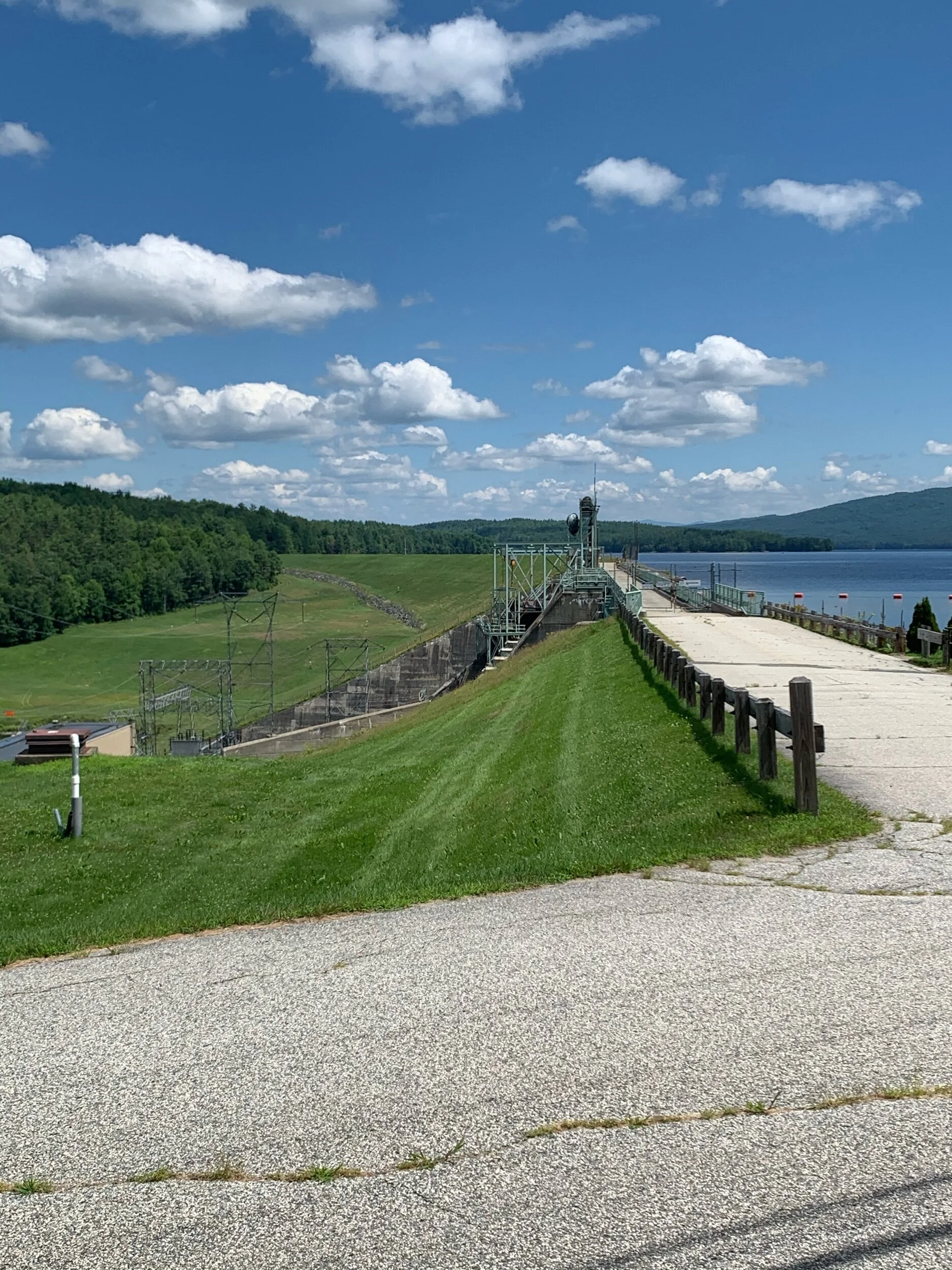
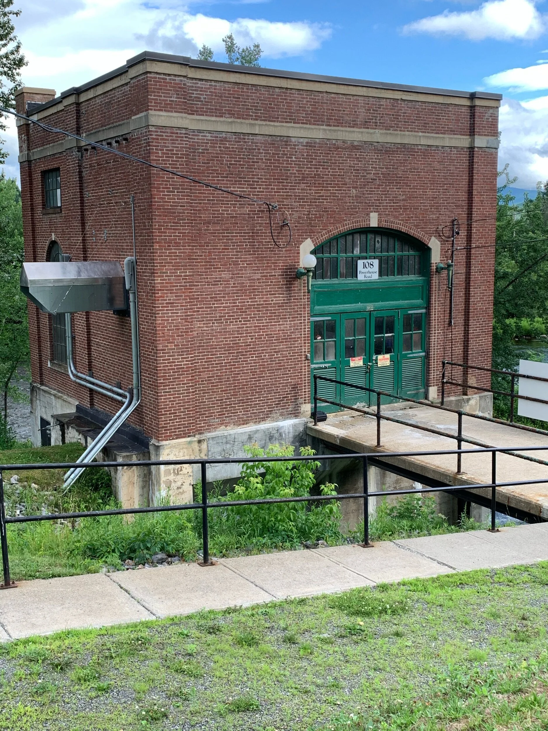
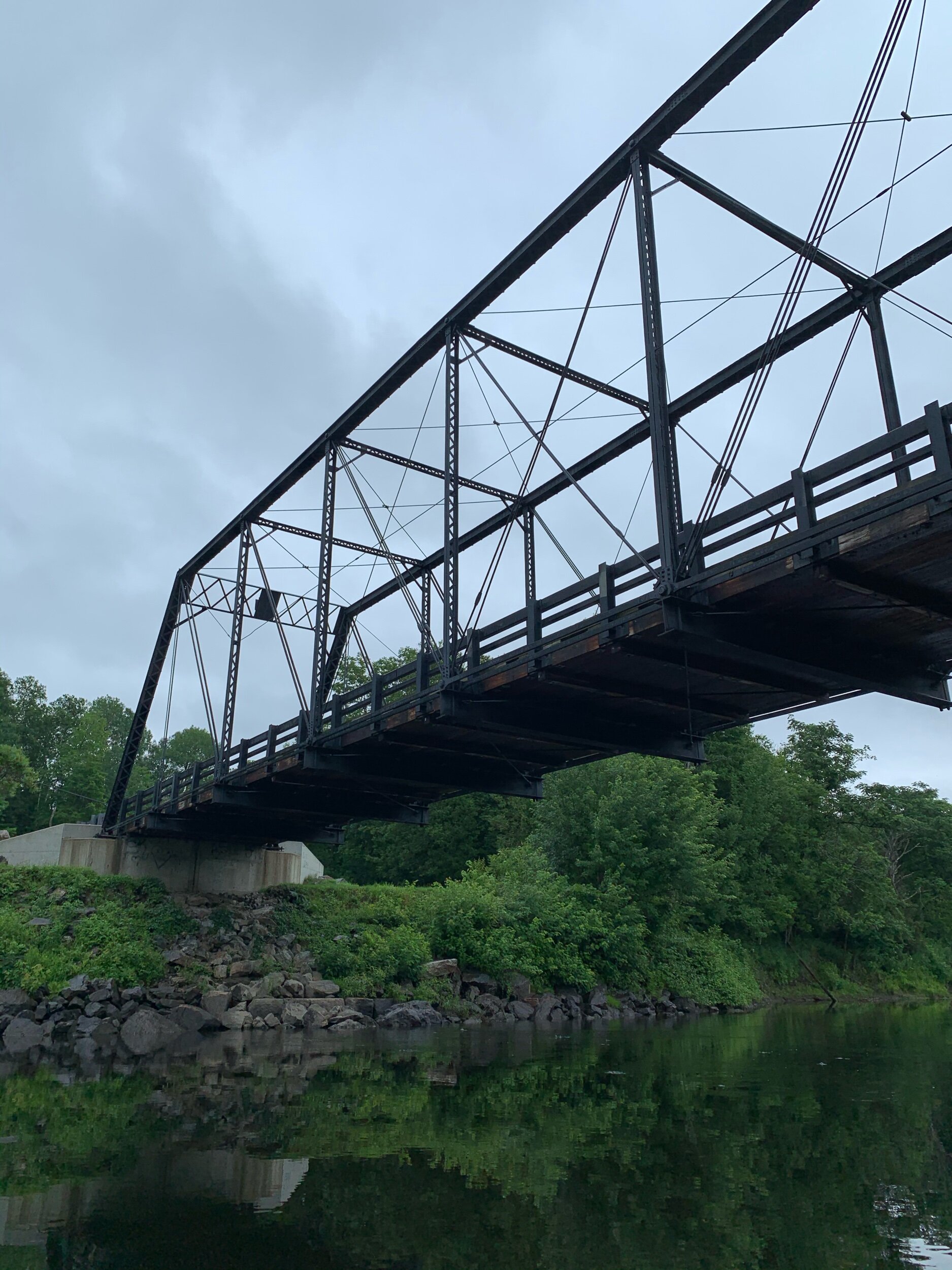
This trip has been an amazing education on the history of civil engineering works. Every possible bridge type is present: lattice truss covered, all manner of box trussed for trains, bow truss, arched truss, arched suspension, and modern bridges with their boring spans of continuous steel, something unimaginable to the builders of yore. The dams are also diverse, from massive earthworks designed to hold back reservoirs, to hydroelectric plants, to small retainers to power the paper mill. At times, the only evidence of a structure having been built at all, is rebar protruding sharply from forgotten chunks of concrete or the solitary abutments from fallen bridges standing monolithic in the river. And while every dam provides a portage trail, these can be obstacles in their own right: ten story embankments or staircases not designed for canoes. We have cataloged every bridge, dam, and ruin we have encountered as part of the river experience.

Over all, the camping has been pleasant and the weather generally hot and sunny. Our guide book has proven invaluable, and we have enjoyed exploring locally on the natural highway that is the Connecticut River.


New England Architecture

All Manner of Bridges

Damn! Look at that Dam!

Lounging at Camp

Merrily We Paddle Along

We started our journey at Lake Francis, NH, a man-made reservoir far to the north. While portaging through Pittsburg, the first of many one stoplight towns, we could see the Canadian border at the end of the road. After Murphy Dam there is a long stretch of quick water that we were not confident in paddling due to this being our first canoe trip. Luckily for us, an experienced angler gave us quite the peptalk. While the words have faded, the general message was: You won’t destroy your canoe, you might get wet, I’m 70 what’s your excuse? And with those bracing words we set off. I am happy to report that while we got spun around a few times, we never flipped, and are now experienced at class 1 through 3 rapids. We finished off that day seeing our first covered bridge, portaging around a bad set of falls and dam, before spending the night at a campground in West Stewartstown.
Storms pepered the next day, but we managed to stay in a blue sky bubble for most of it. The river has many primitive one tent campsites along its shores. Well marked and always welcome, these and sandbanks are our go-to locations for spending the night. While each have their pros and cons, sandbanks are generally preferred due to less mosquitoes, soft sand, and sweeping vistas. That night while on a sandbank we realized that the pile of logs across the river was not a log jam, but a beaver lodge. While we were interested, they were not pleased to have neighbors and smacked their tails as warning many times.
We then entered an extremely squiggly portion of the river where oxbow lakes are common. While picturesque, these squiggles prove exhausting in their length and lack of current. This portion showed its age as old bridge abutments, breached dams, and log cribs were common. Log cribs are artificial islands used to create log jams to control their movement downstream to the timber mills. Have you ever seen a pile of rocks over 200 years old?
Our spirits and weather are great and we will be stopping in a town soon to do some laundry. Meanwhile hopefully the river straightens out a tad so we can rack up the miles easier.

Now to list all the animal friends we’ve seen!

Speckled Sandpipers, Bank Swallows, Bald Eagles, Ospreys, Ravens, Red Breasted Mergansers, Canadian Geese, Snow Geese, many other birds we don’t know, Beavers, Otters, Black Bear, Cows, Frogs, Baby Fish, and the whole gambit of Dragonflies, Butterflies, and other insects

2020 Part 2: Now in a Canoe!

In the depths of these unfortunate albeit good weathered times, we find ourselves on the move again. Unfortunately the Appalachian Trail is still not an option. Most states along the trail, except for the northern seven, have seen surges in cases within the past month or less. We wondered how we could safely return to nature while ensuring social distancing. We decided the best way to continue our adventure would be a canoe trip down the Connecticut River. Figuring that the waterway will be less crowded then any long distance trail we pick, we will be able to cross 4 states off our list from the safety of our canoe. We are excited to view the river’s industrial past and present in the form of it’s many towns, mills, dams, reservoirs, canals, and bridges. We will soon be heading to the headwaters along the New Hampshire/Canada border to make our month long paddle south to Long Island Sound. We are confident that our sturdy pair of wheels will make portaging the river’s many dams a breeze. As we refill our hiking packs and pick up some newly needed items (paddles, life jackets, solar panel, dry-bags) stay tuned for Part 2 of our 2020 Adventure: The views from the water are sure to be worth it.

Animal Friends!

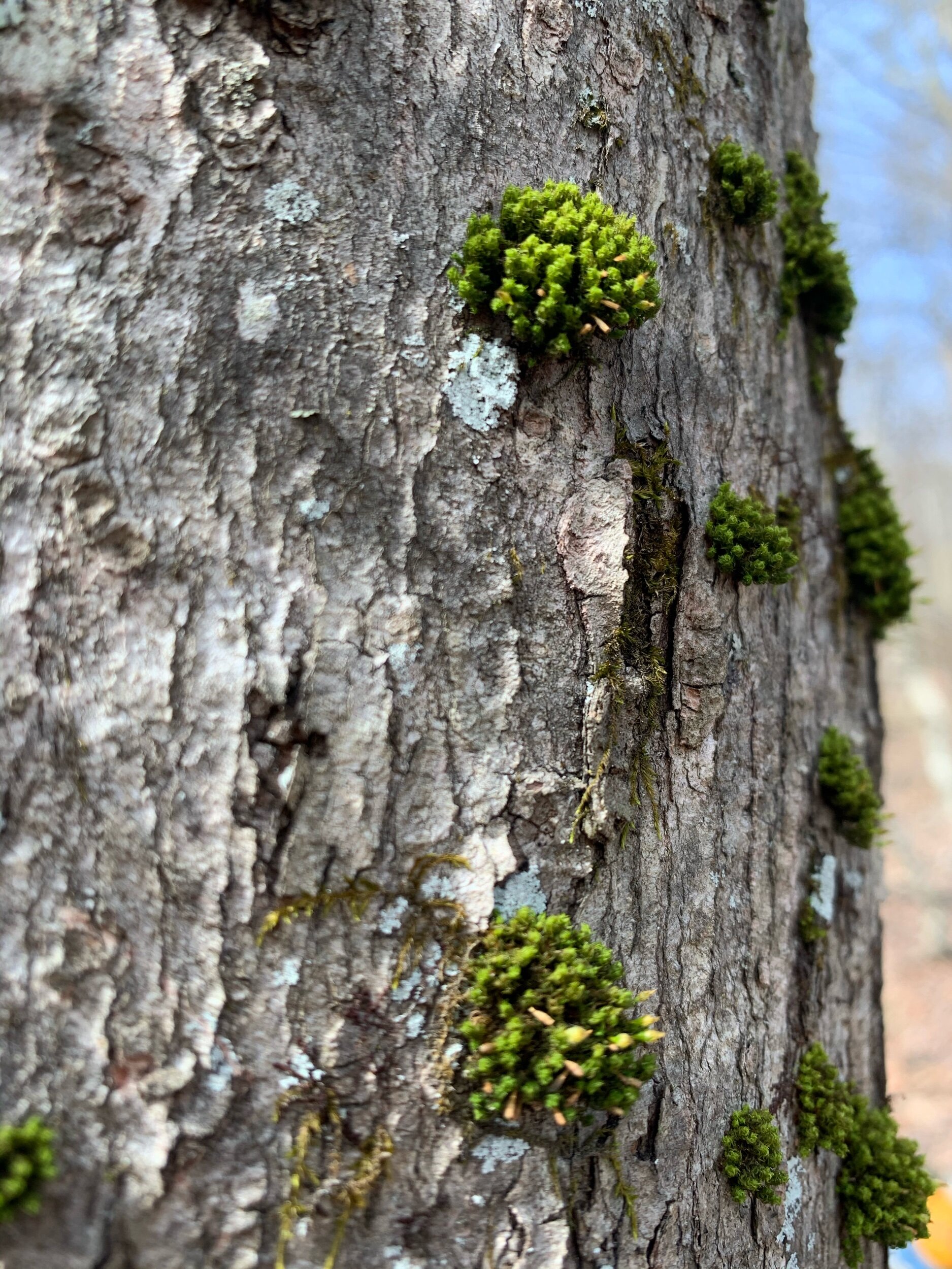
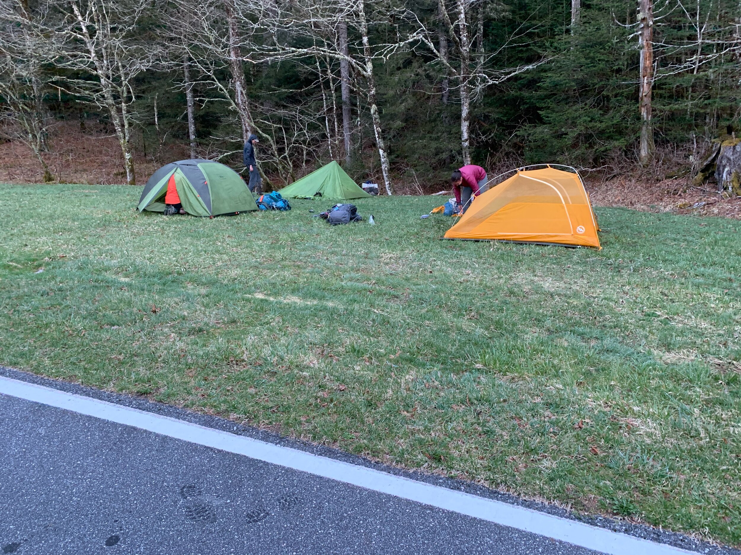
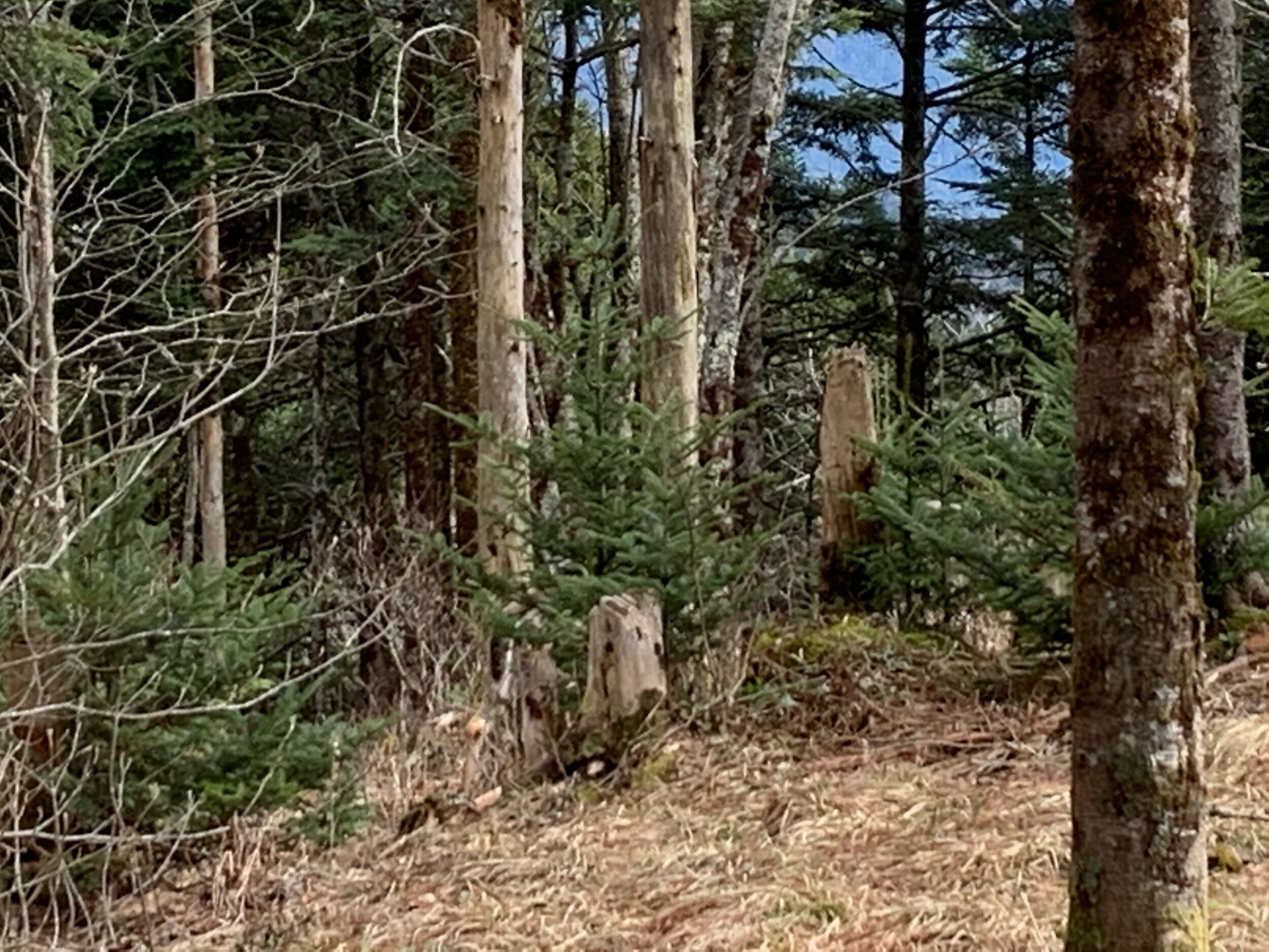
We have seen a fair bit of wildlife on our short trip, despite the fact that its still winter. Birds were returning, amphibians awakened, and deer were ever present. Animals seen: Junkos, Bald Eagles, various hawks, Deer, Chipmunks, Squirrels, Salamanders, Snails, Ladybugs and more! We never saw any bears (which I am quite happy about) even though we saw the presence of them everywhere.

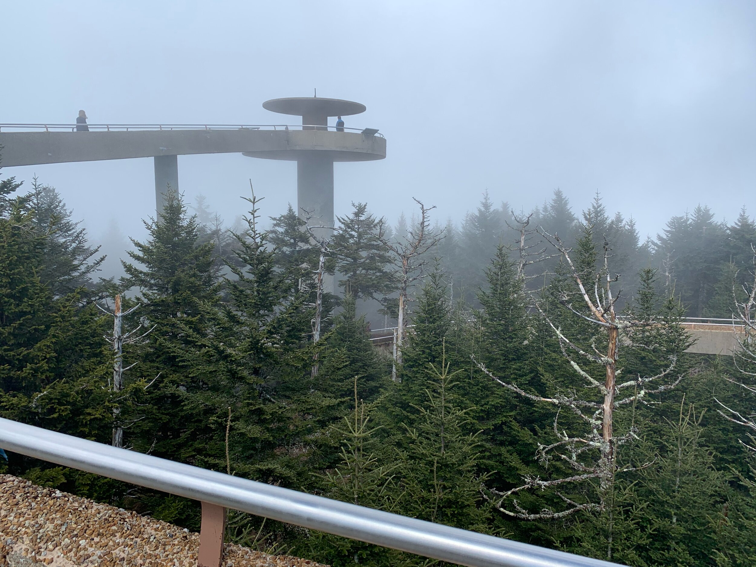
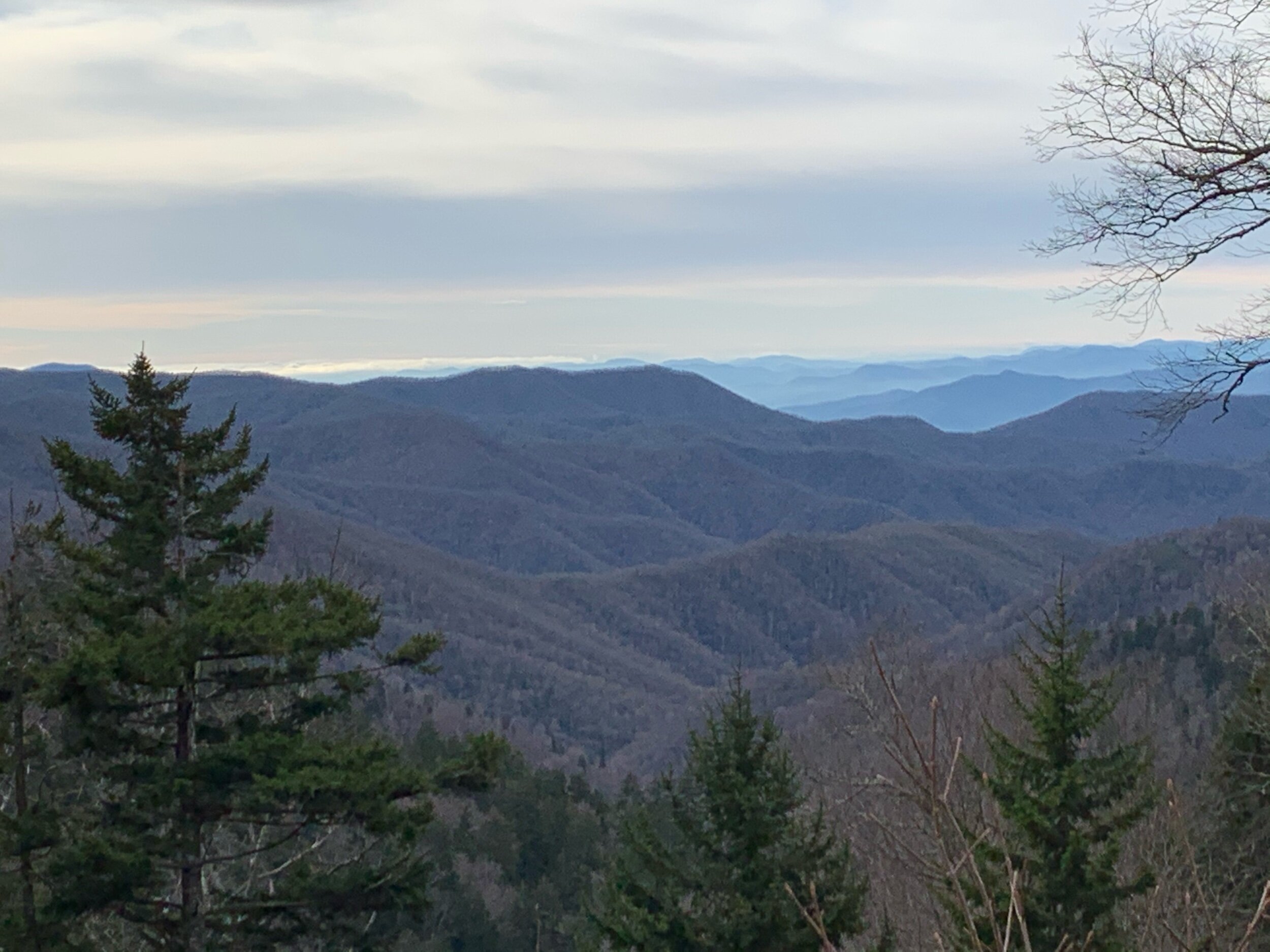
The Great Smokey Mountains

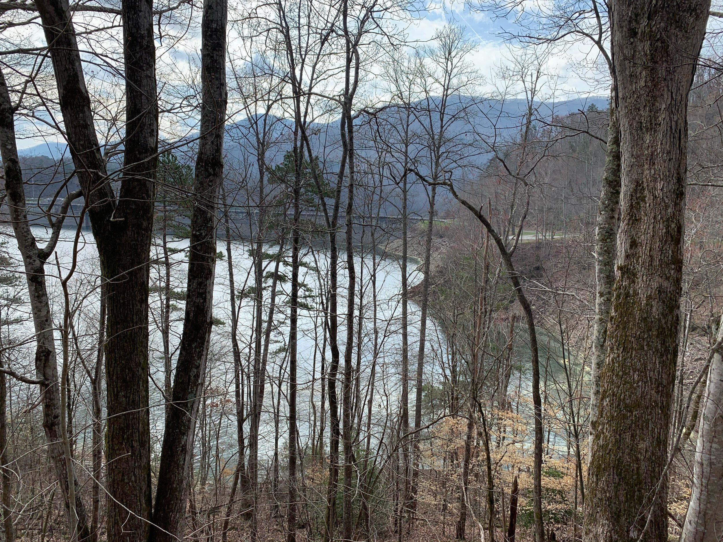
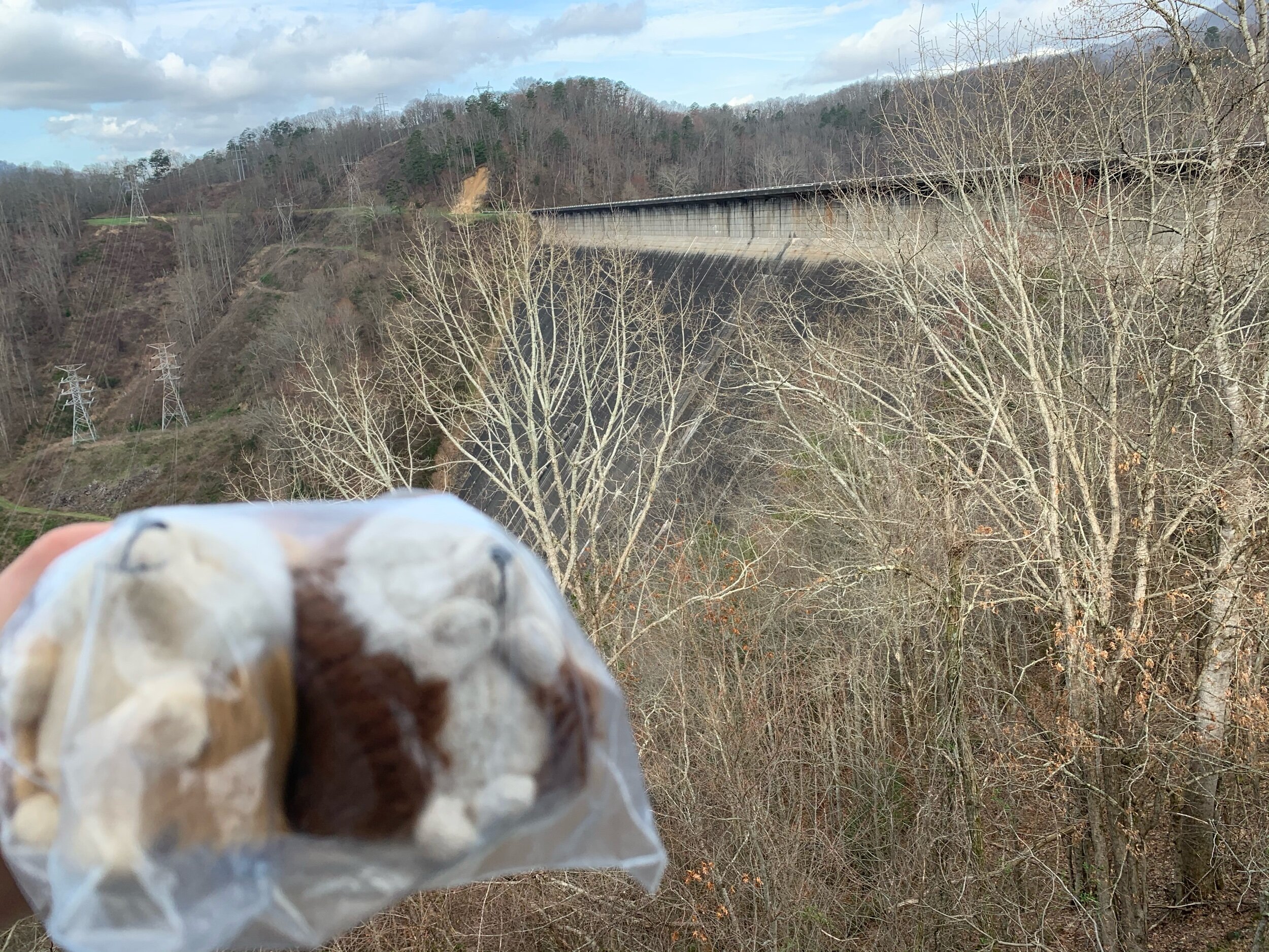
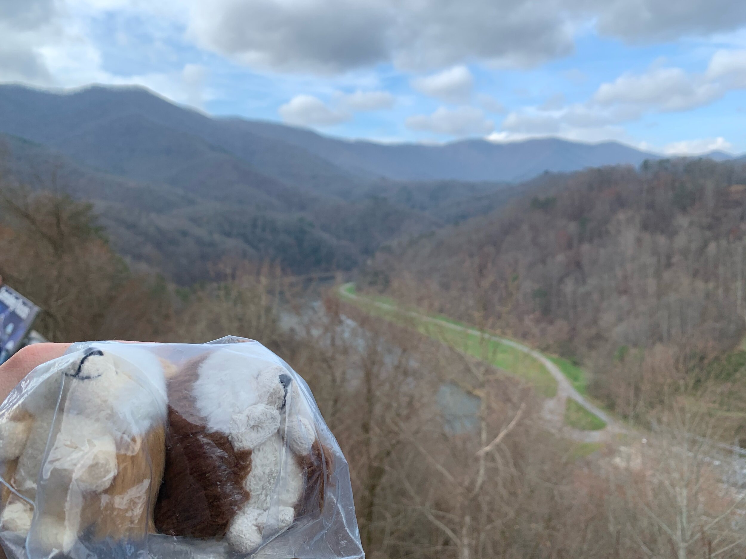
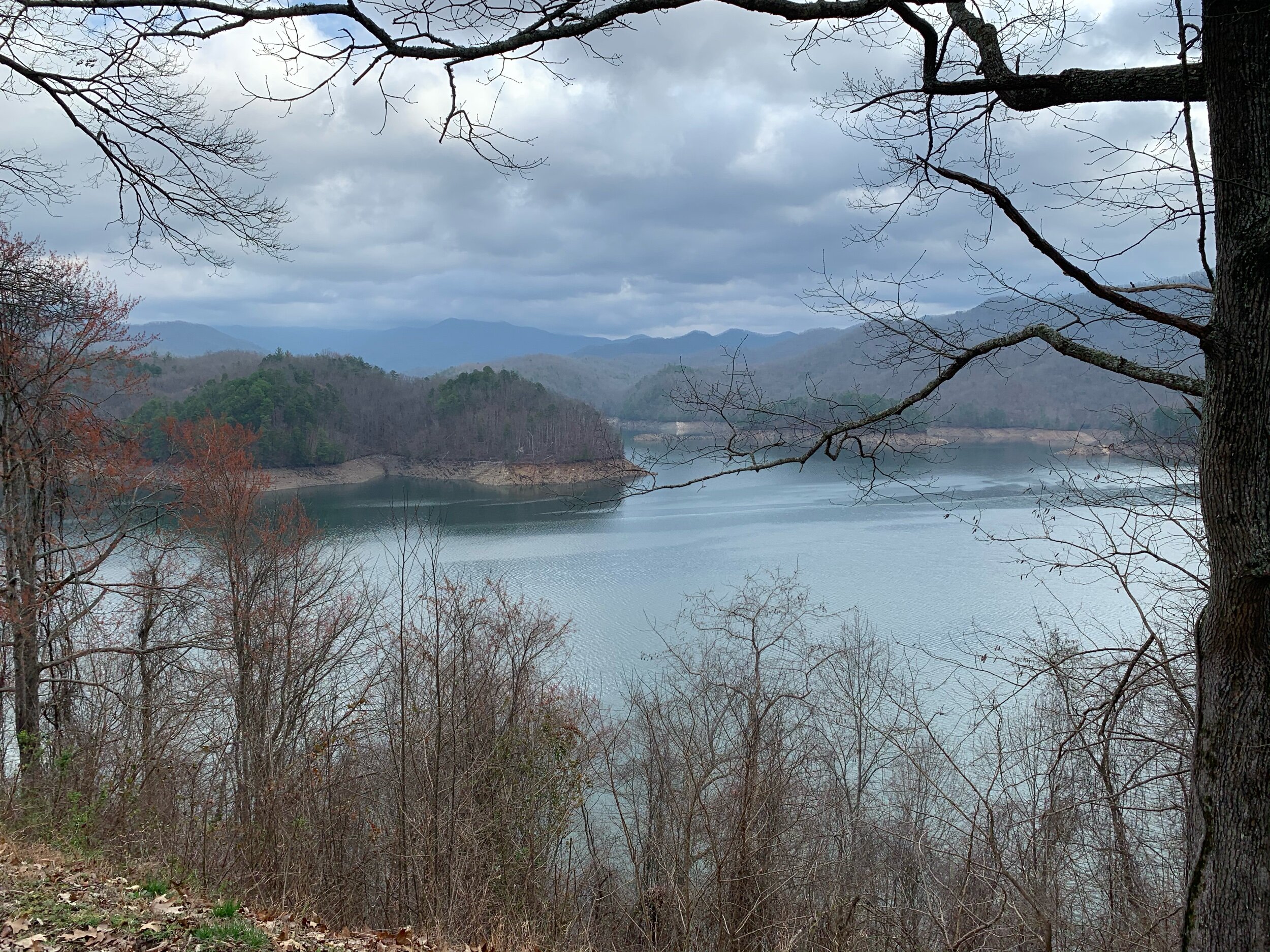
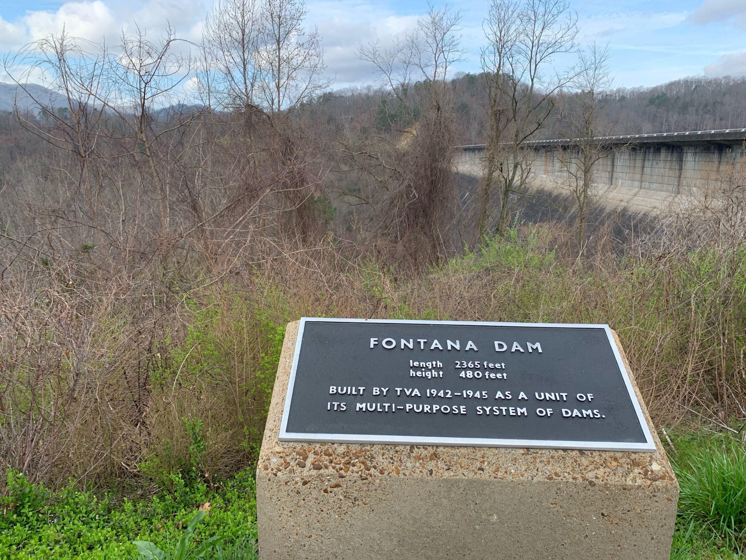
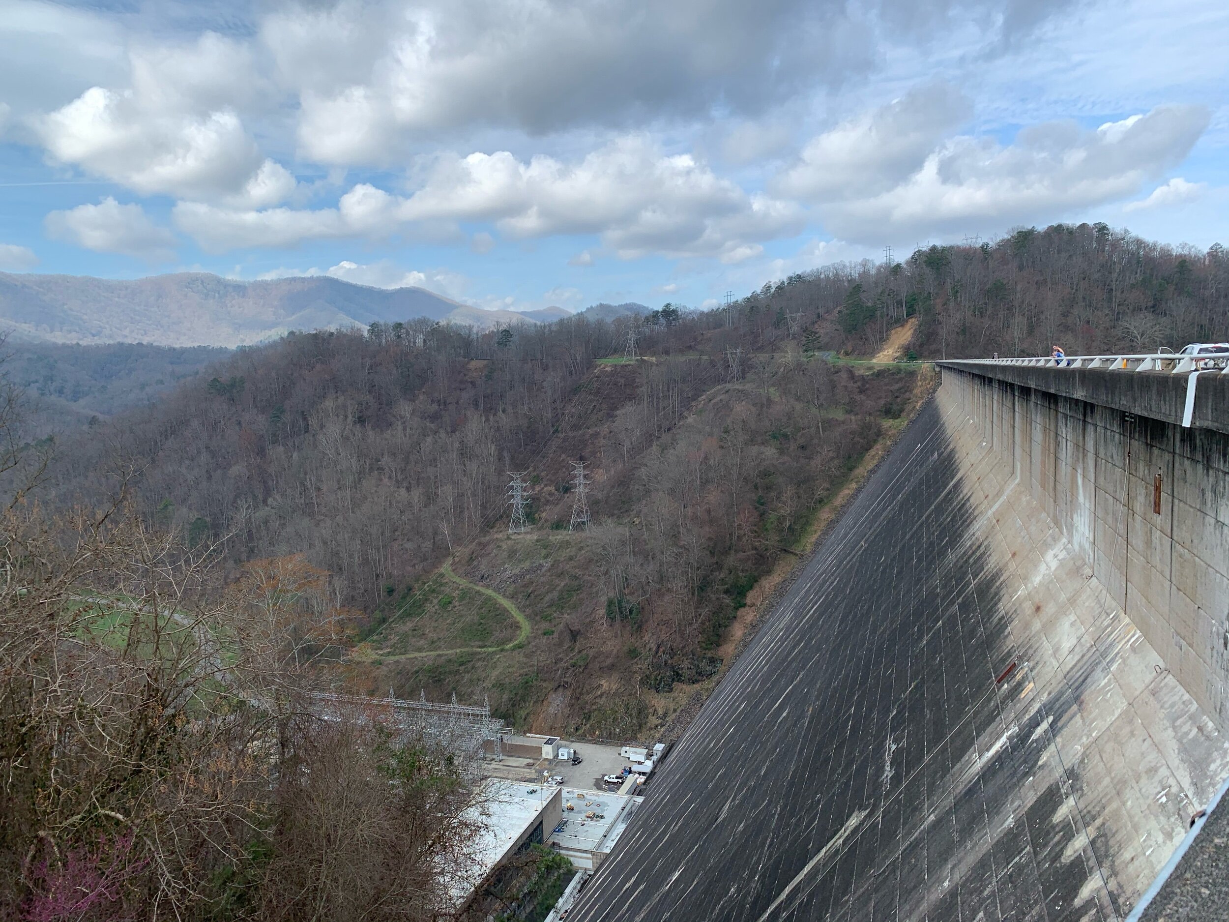
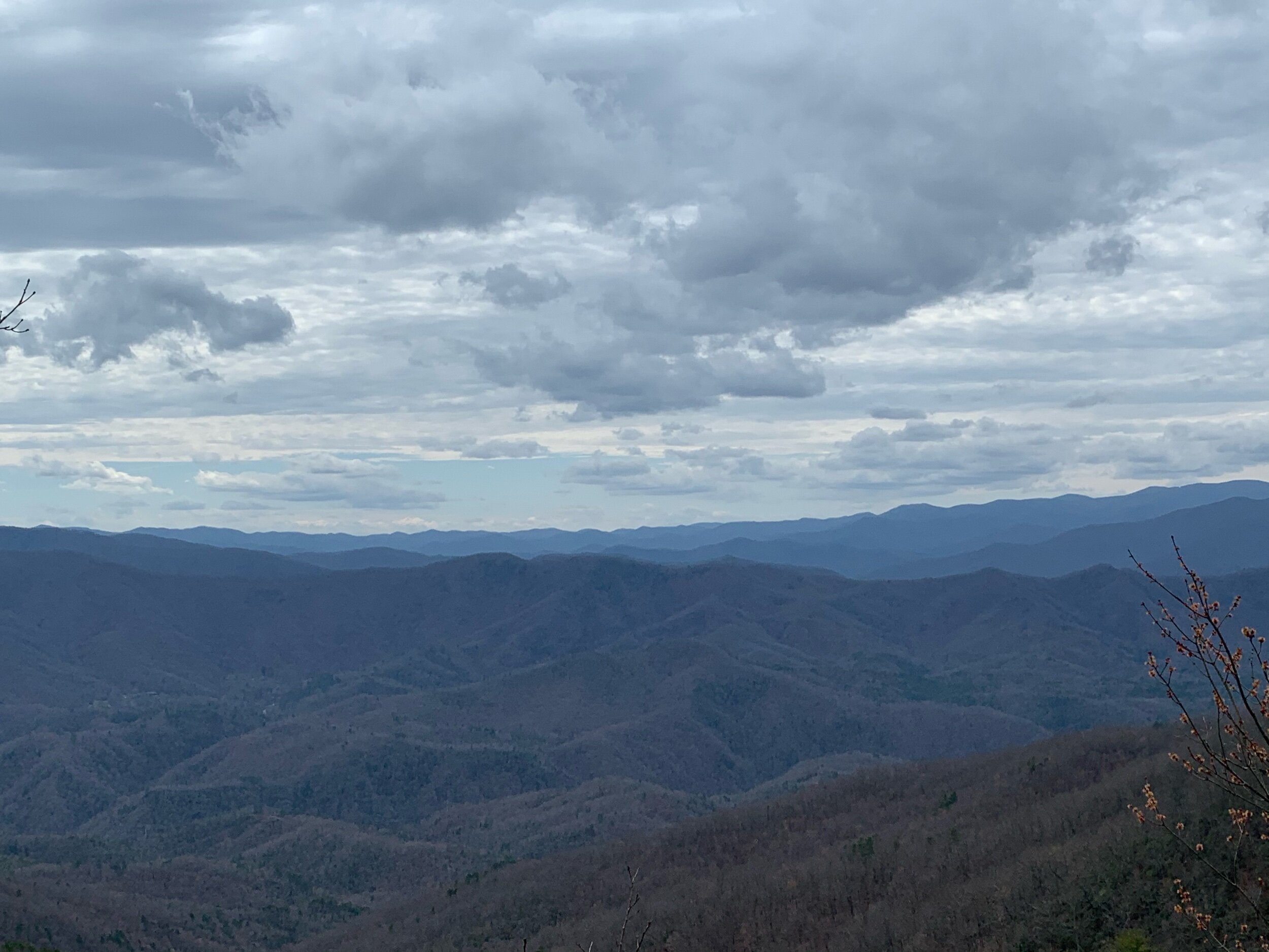
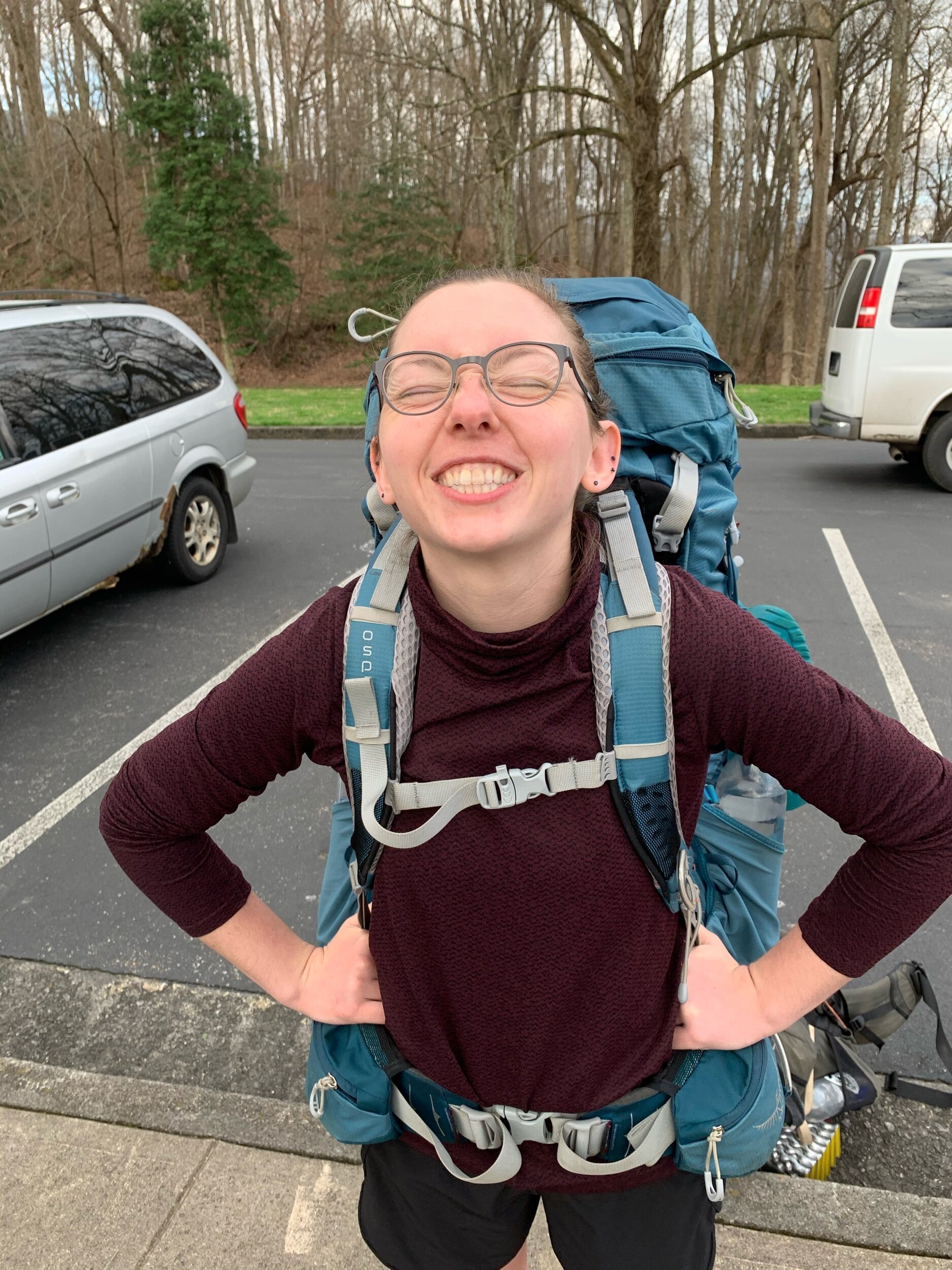
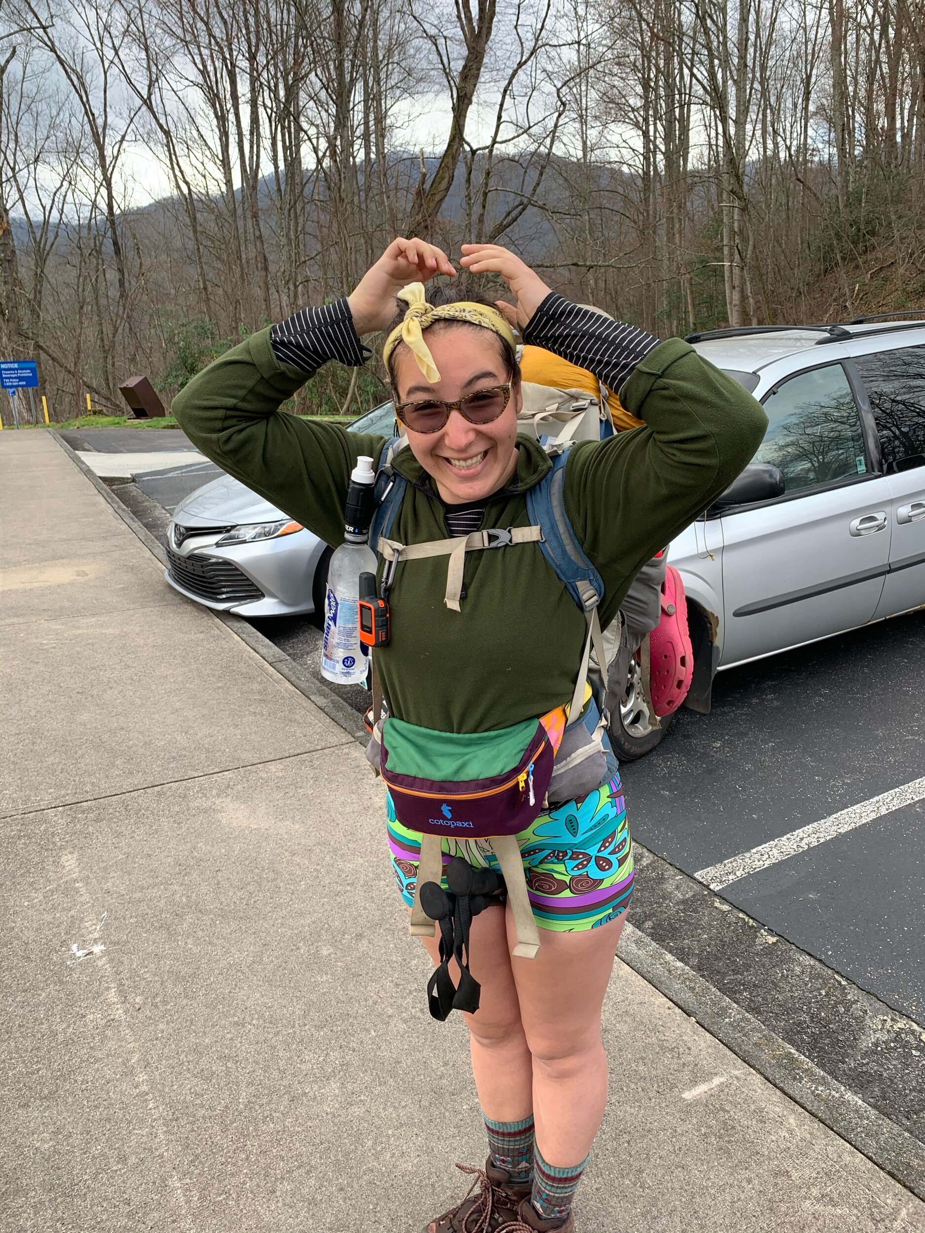
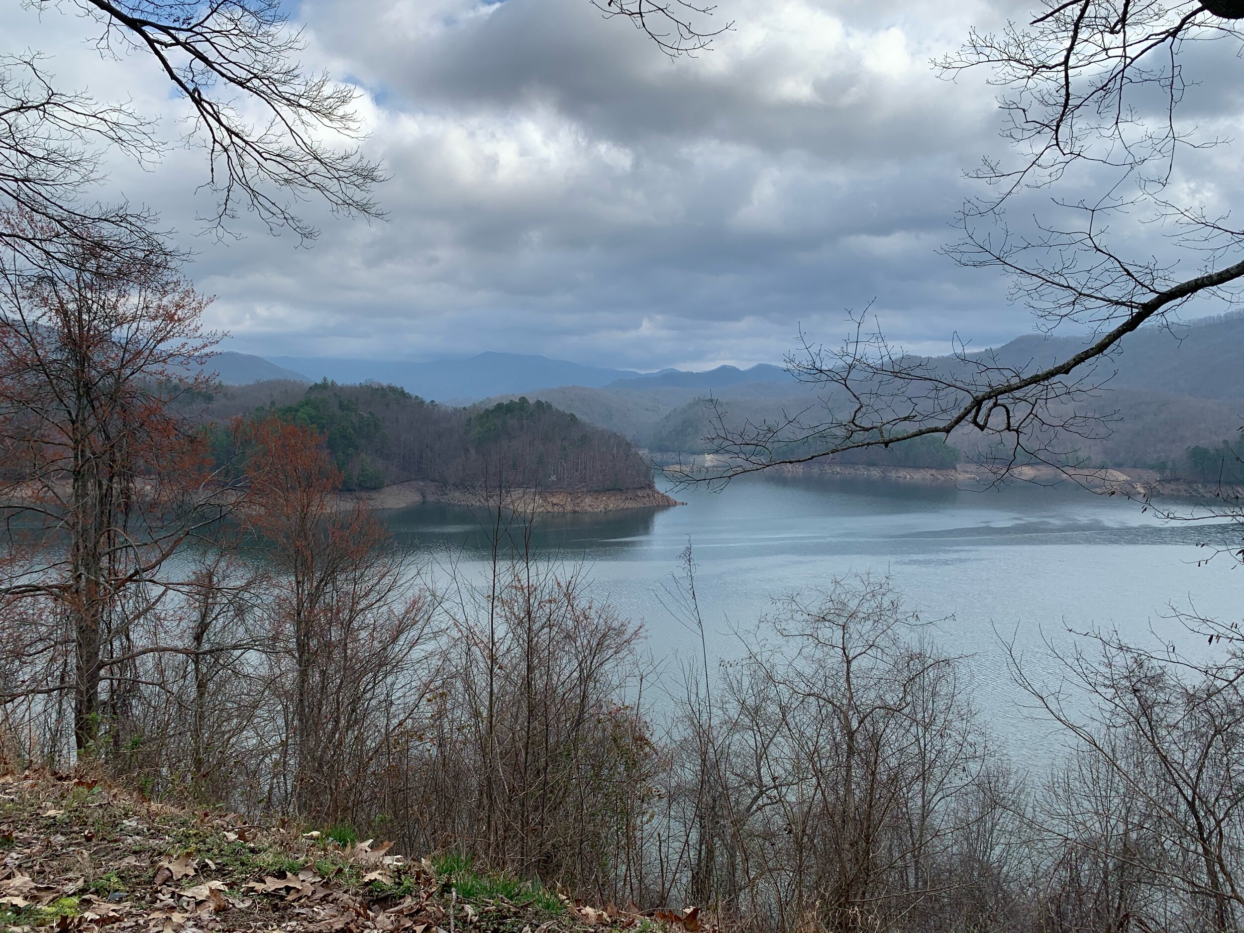
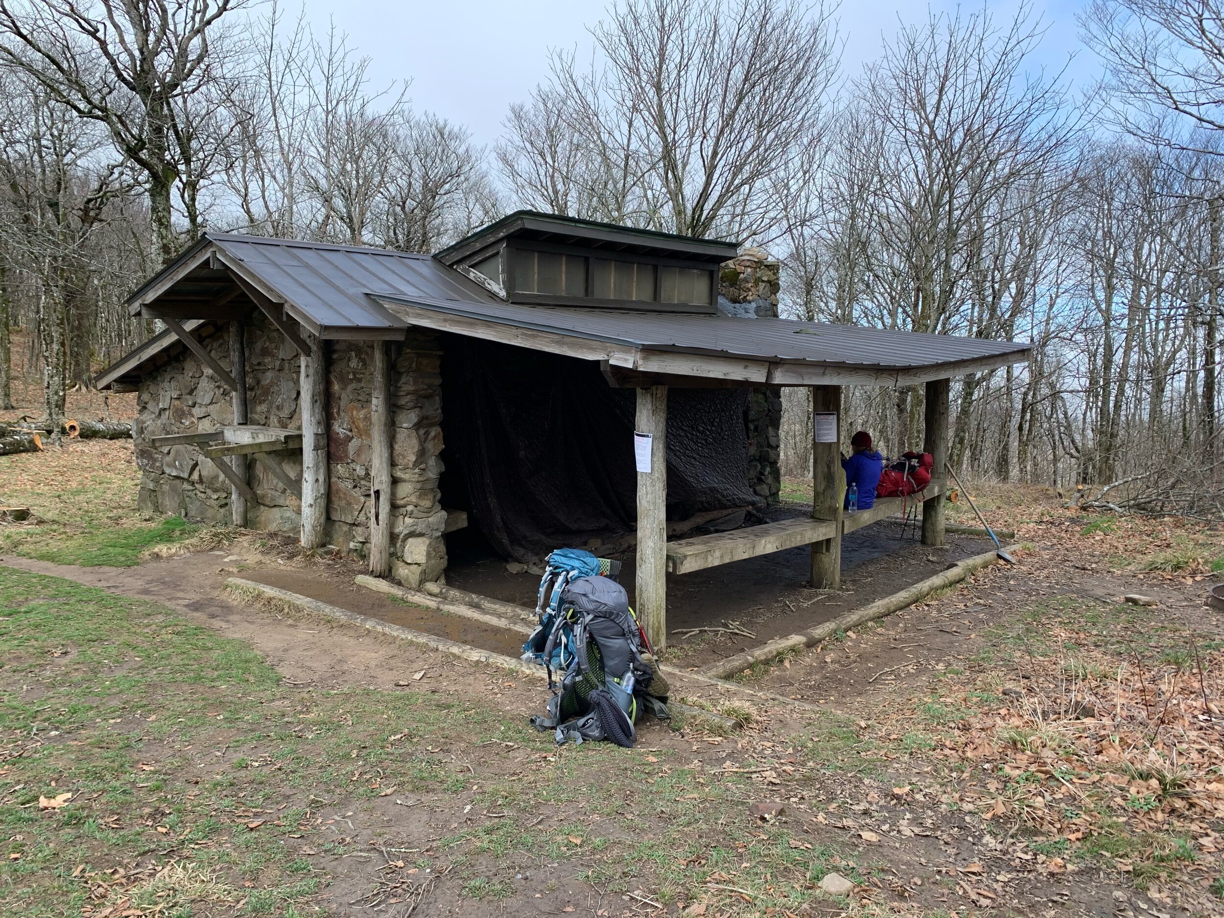
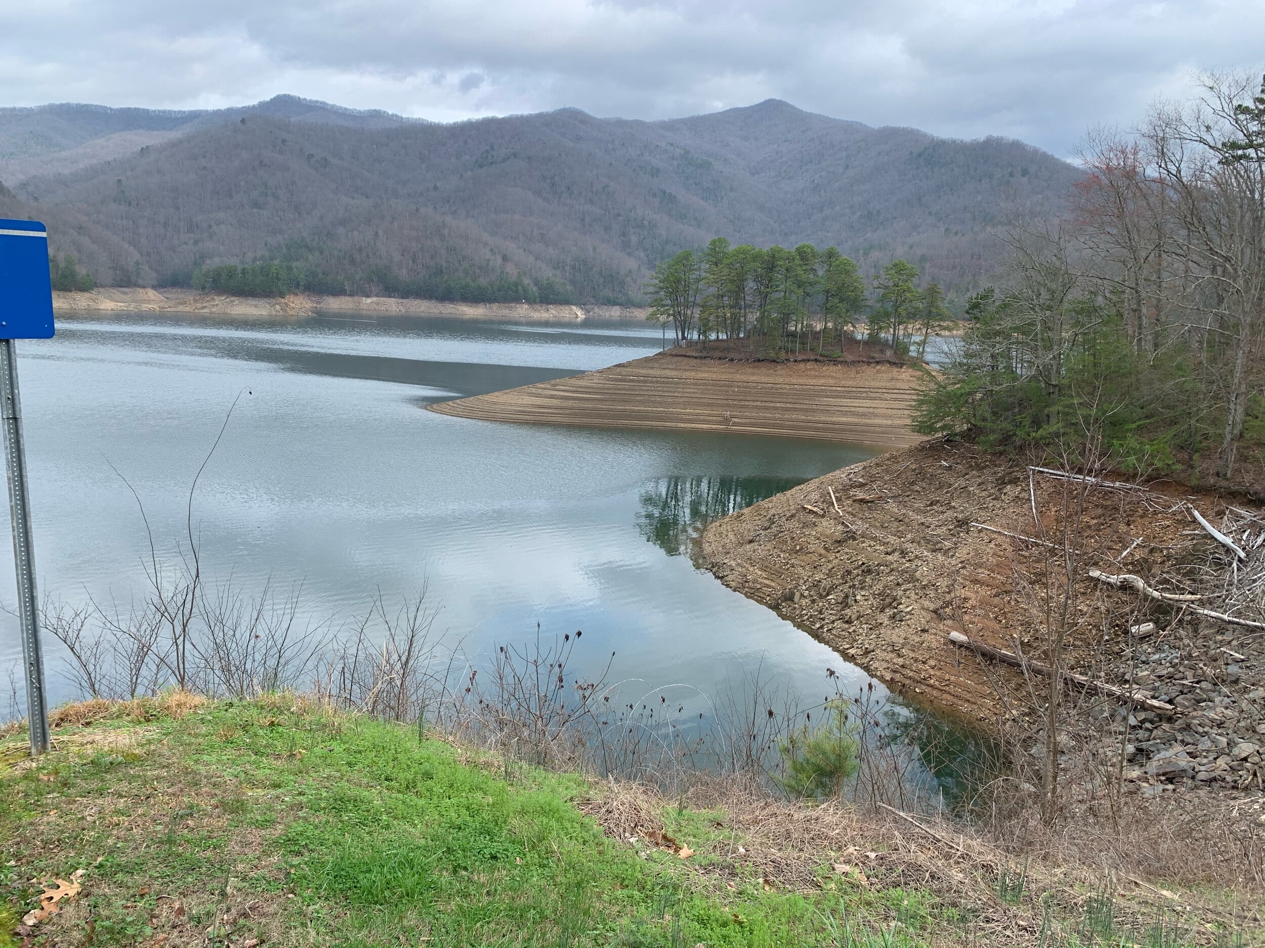
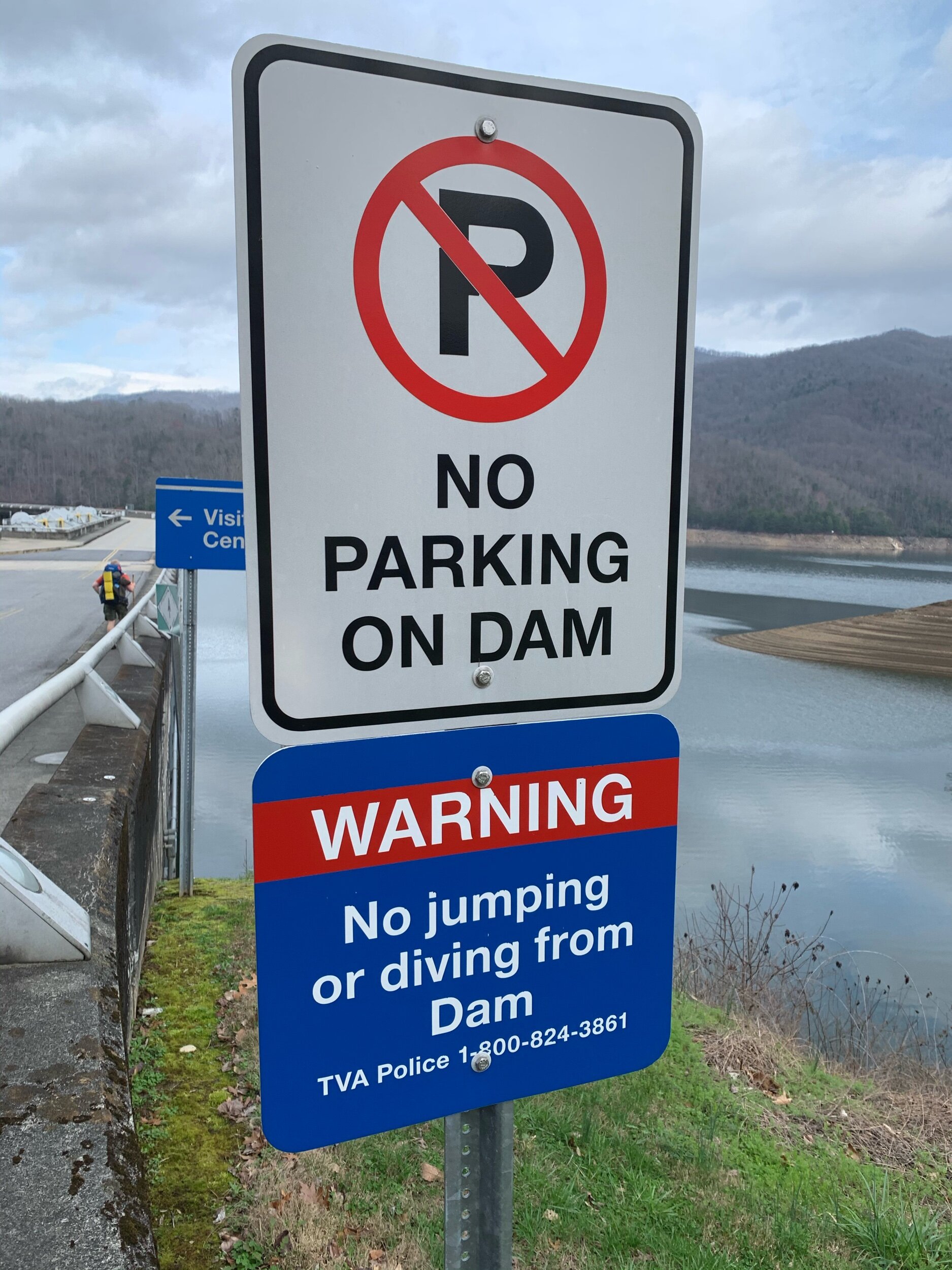
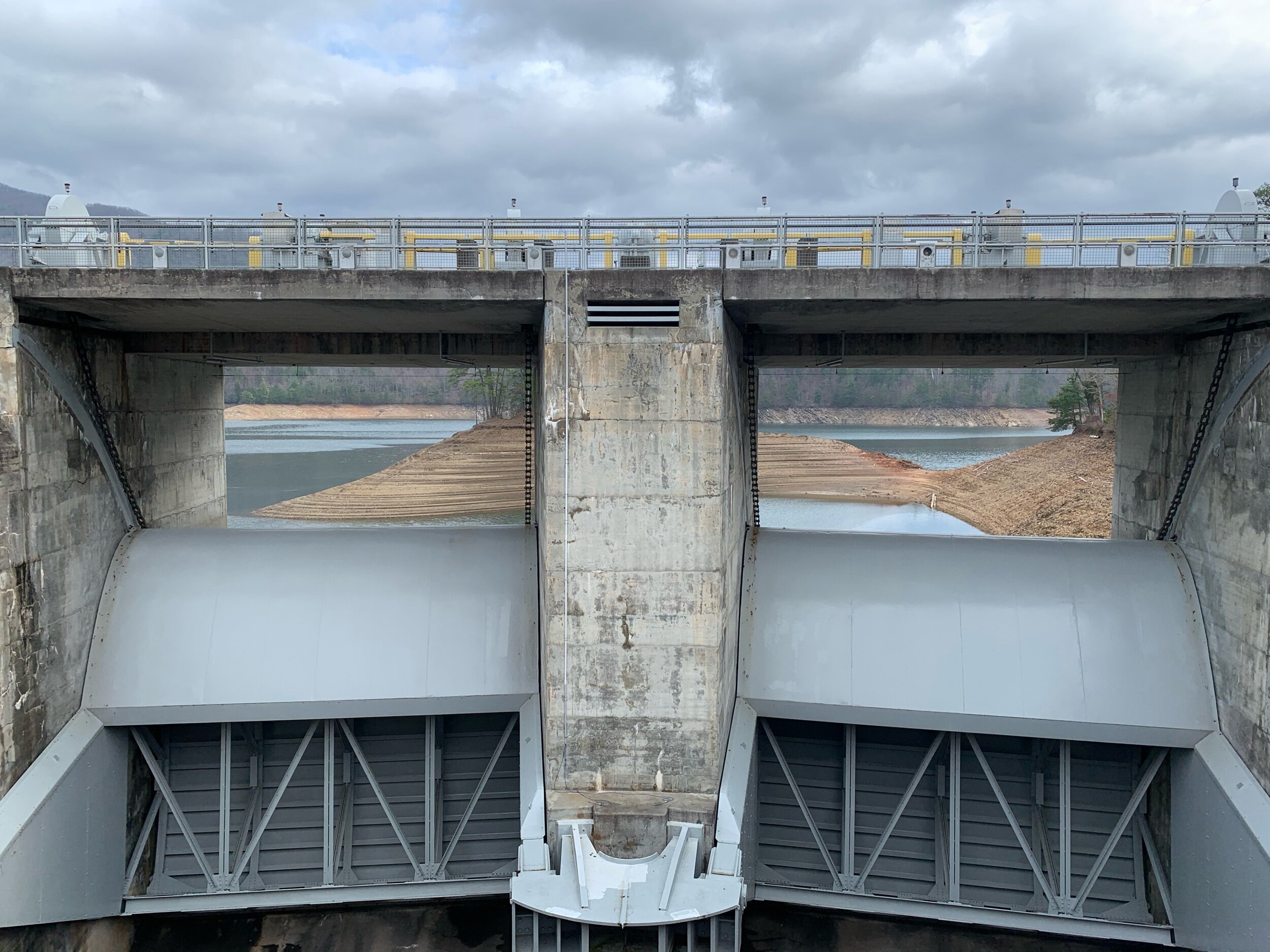
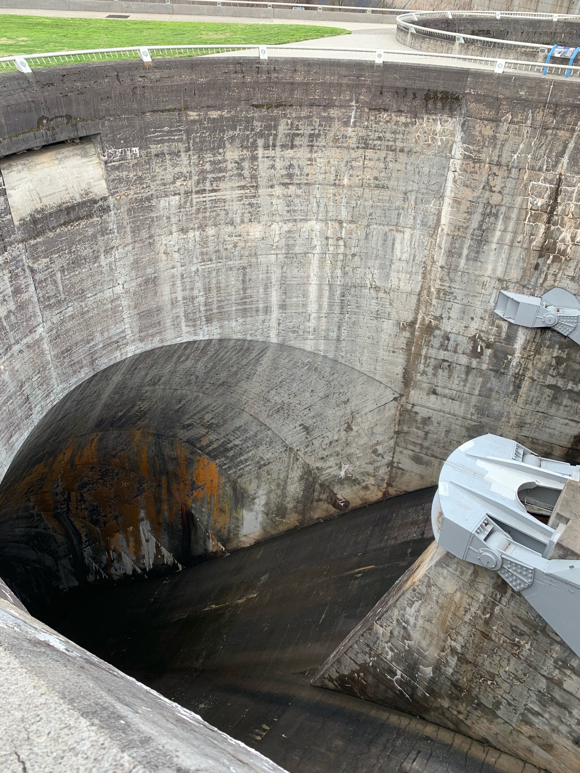
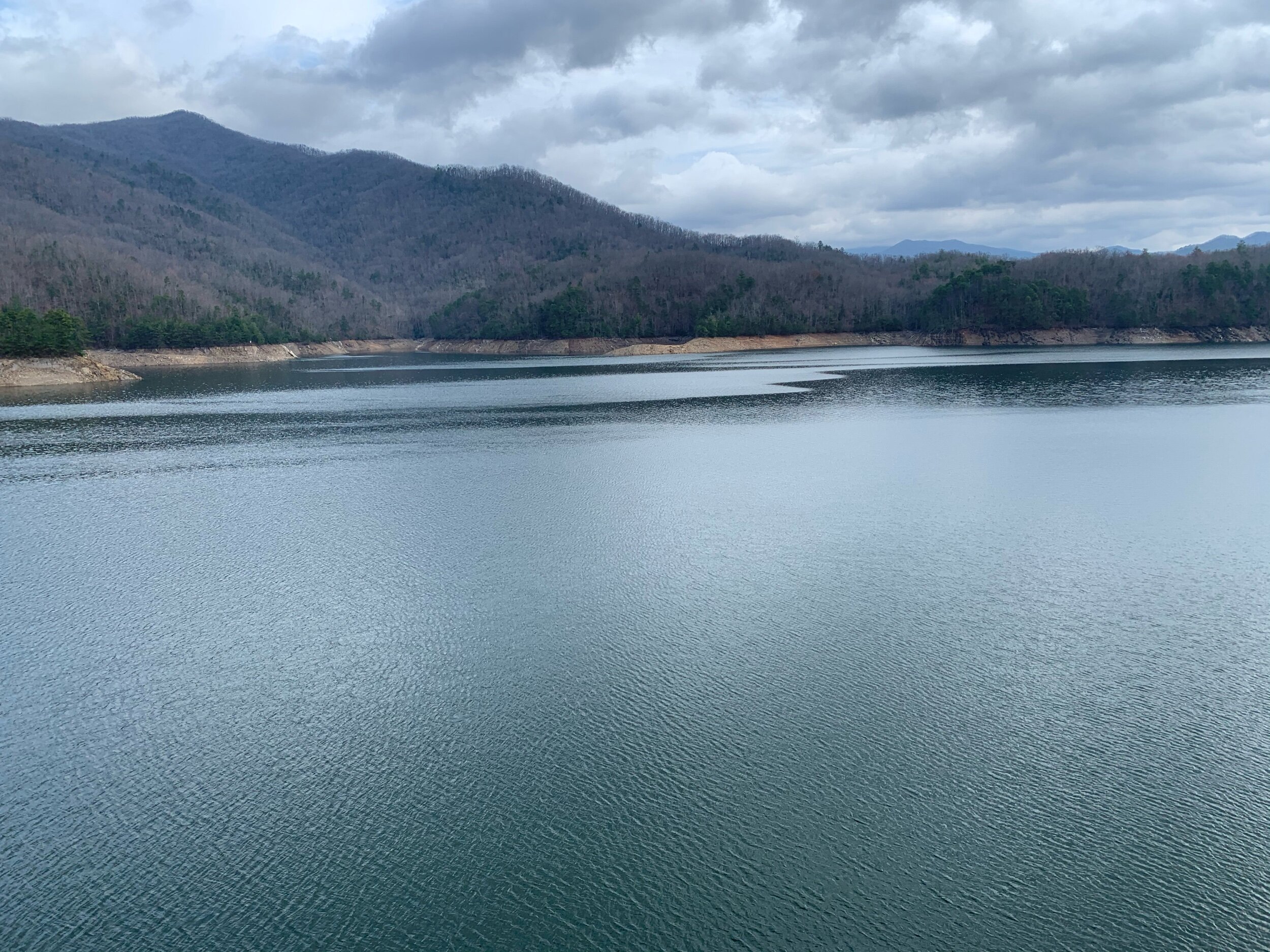
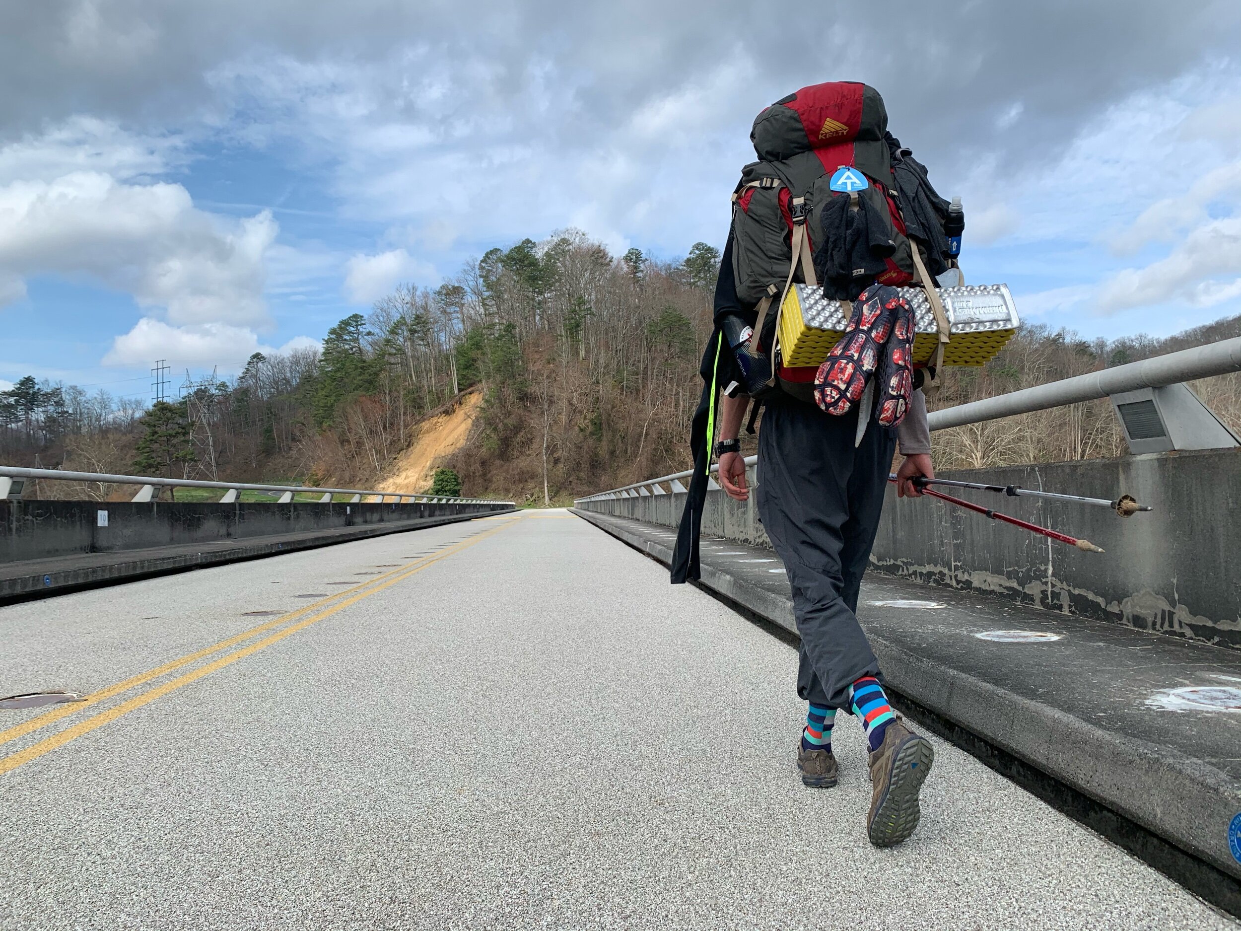
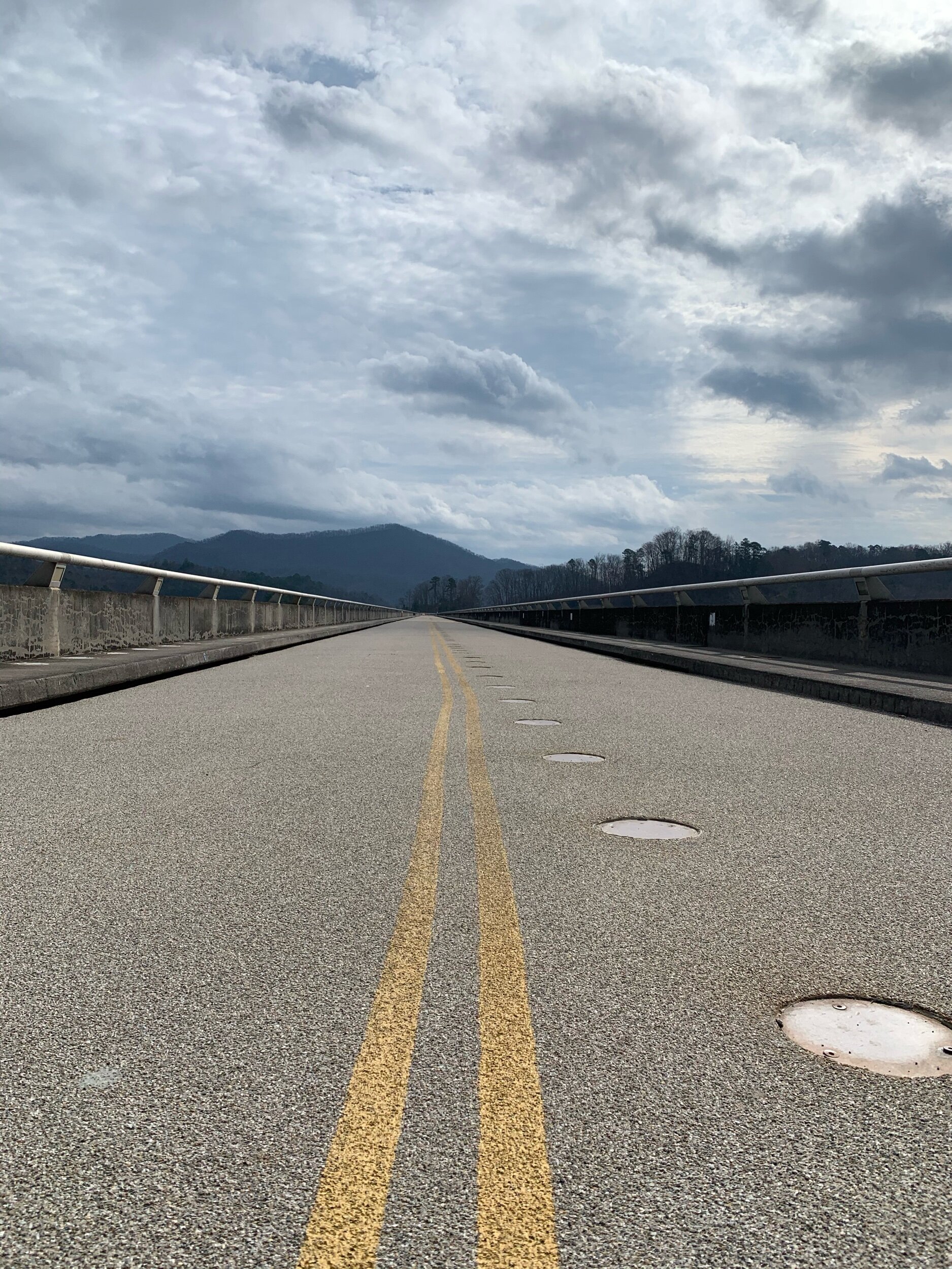
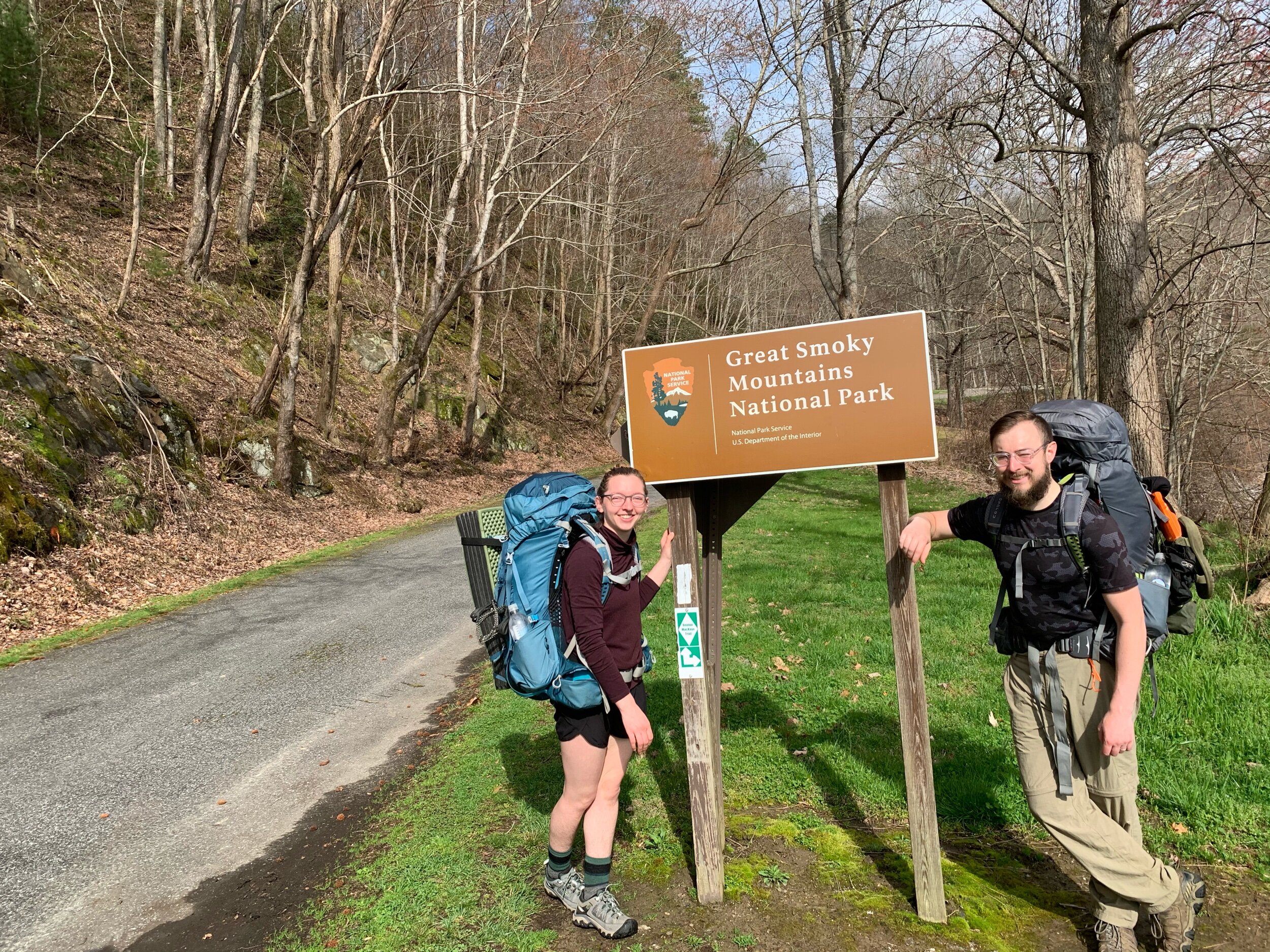
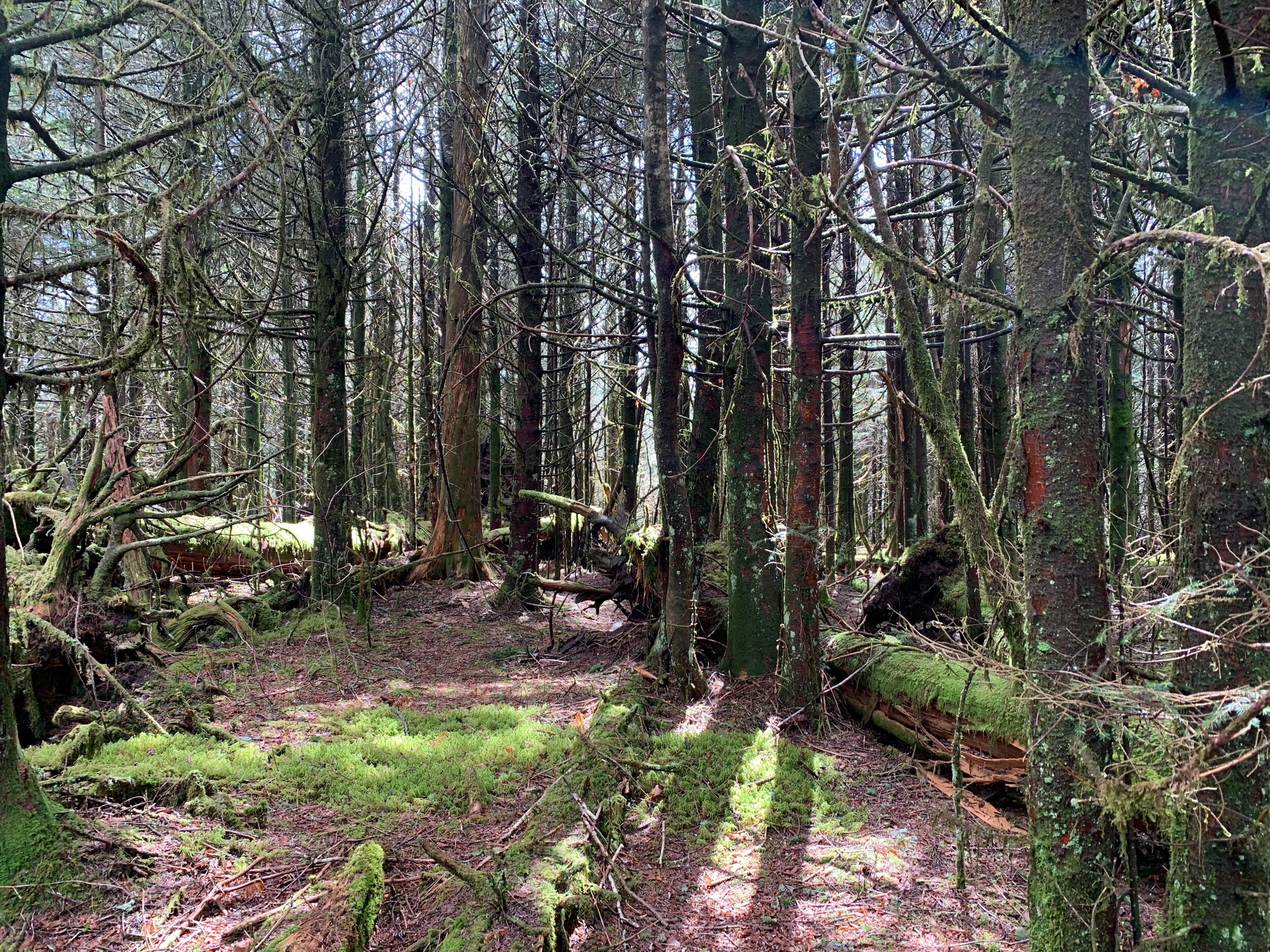
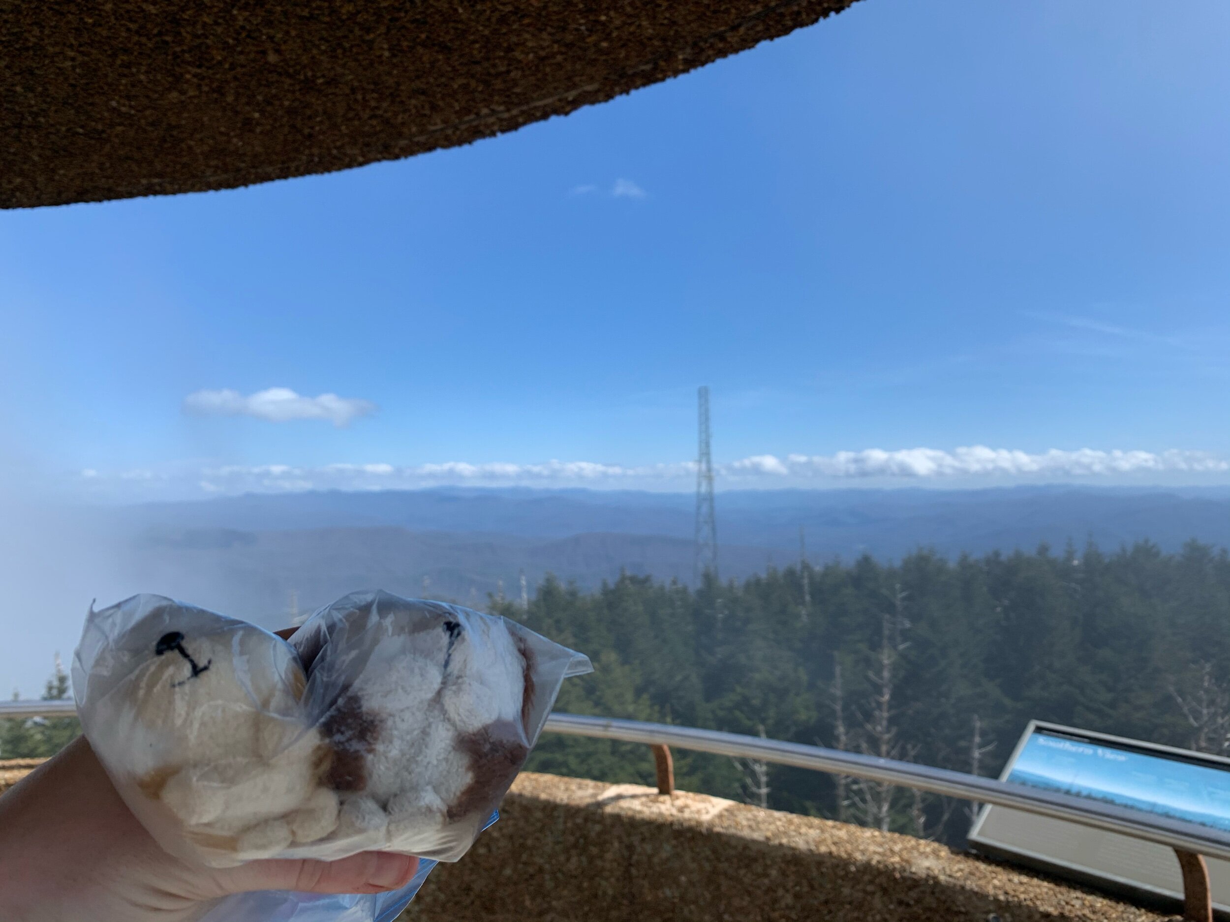
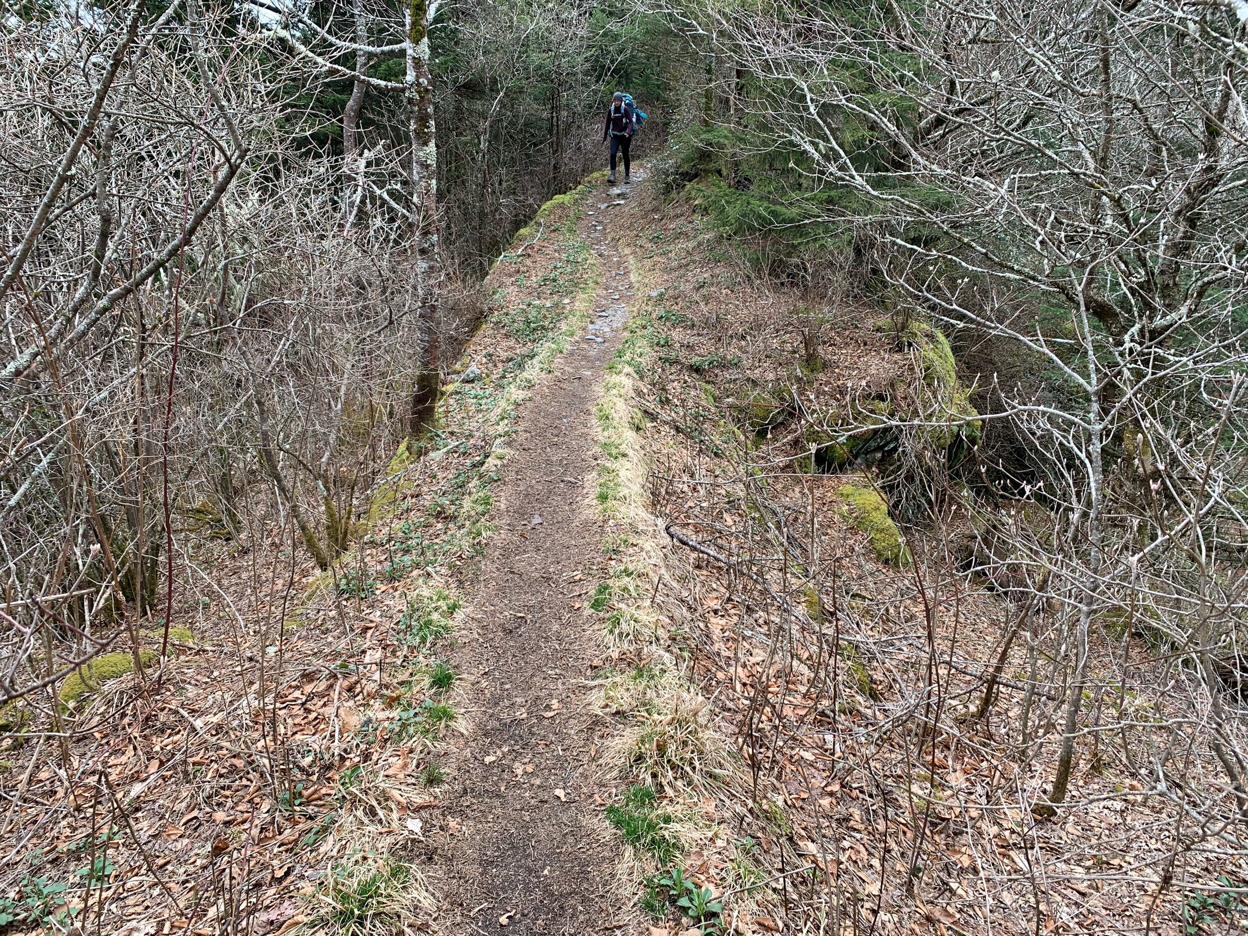
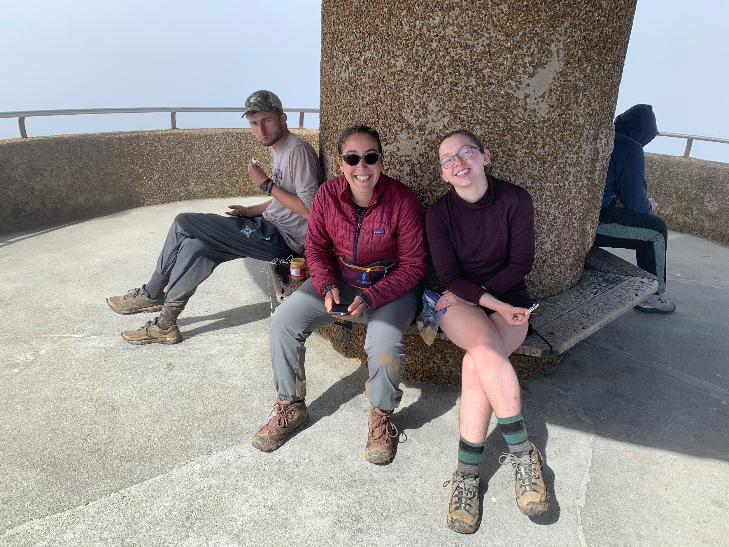
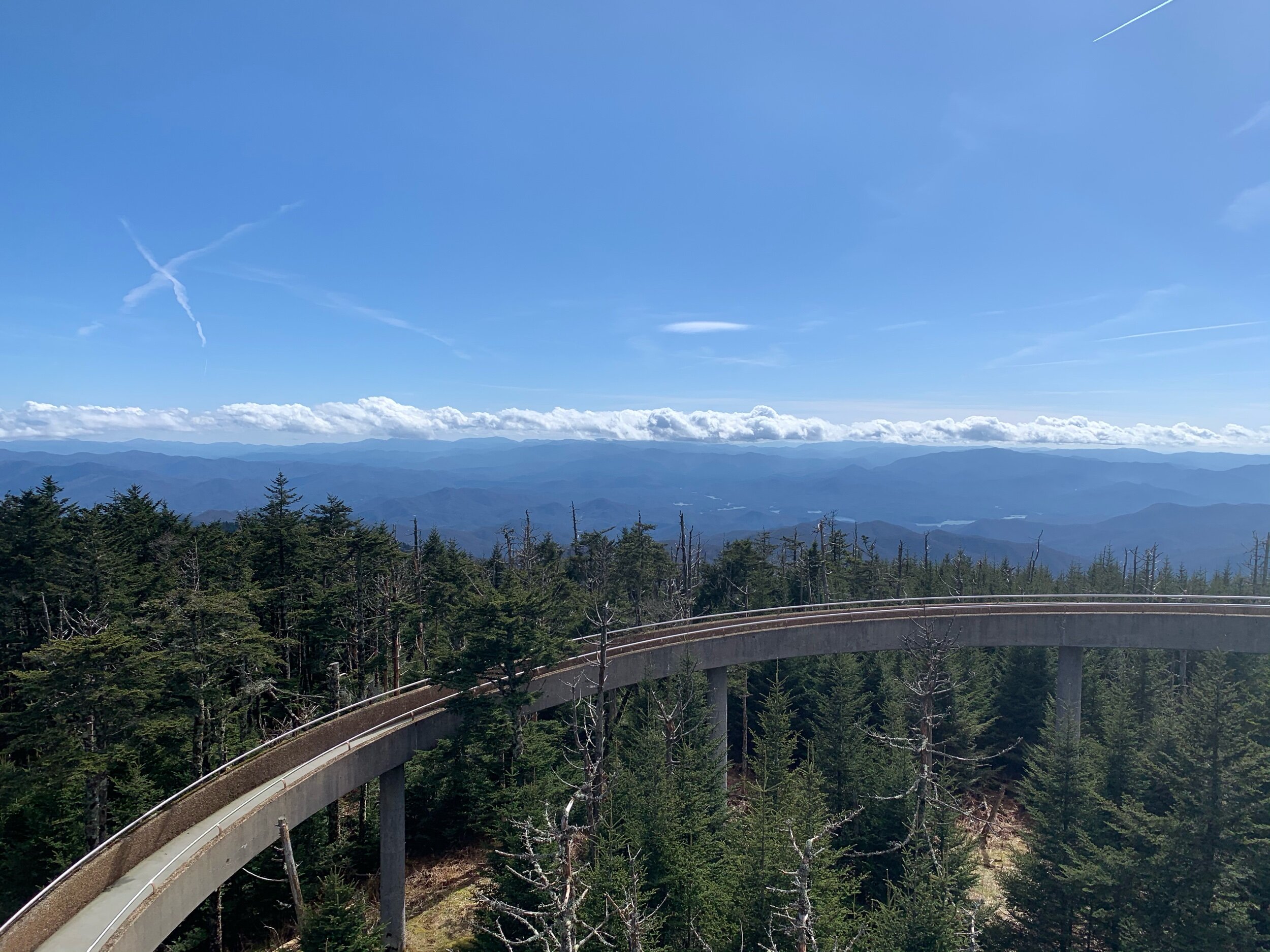
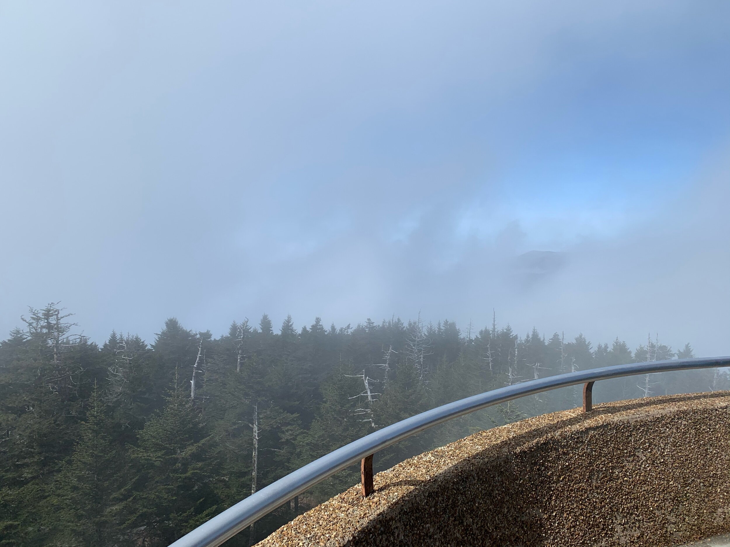
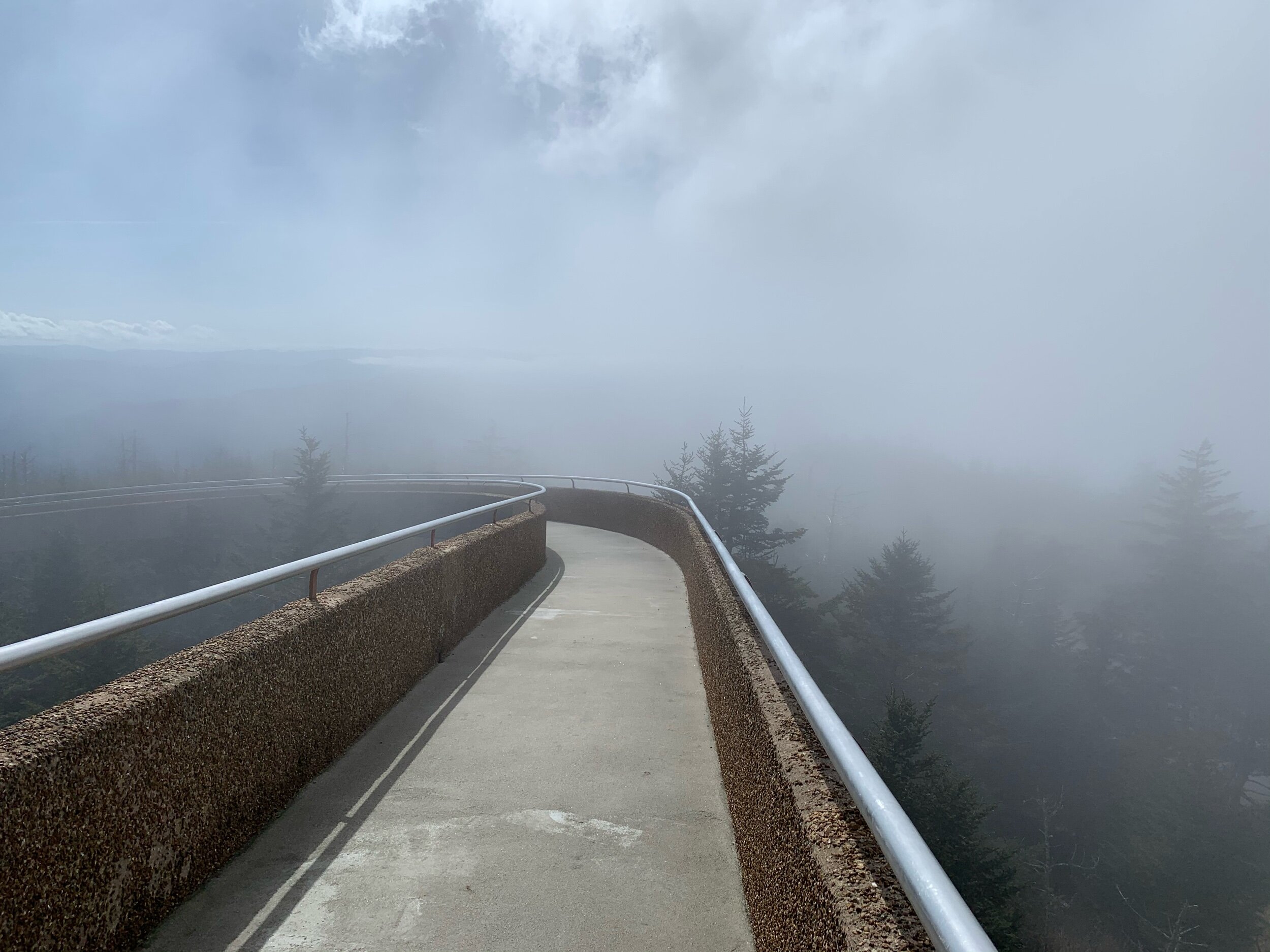
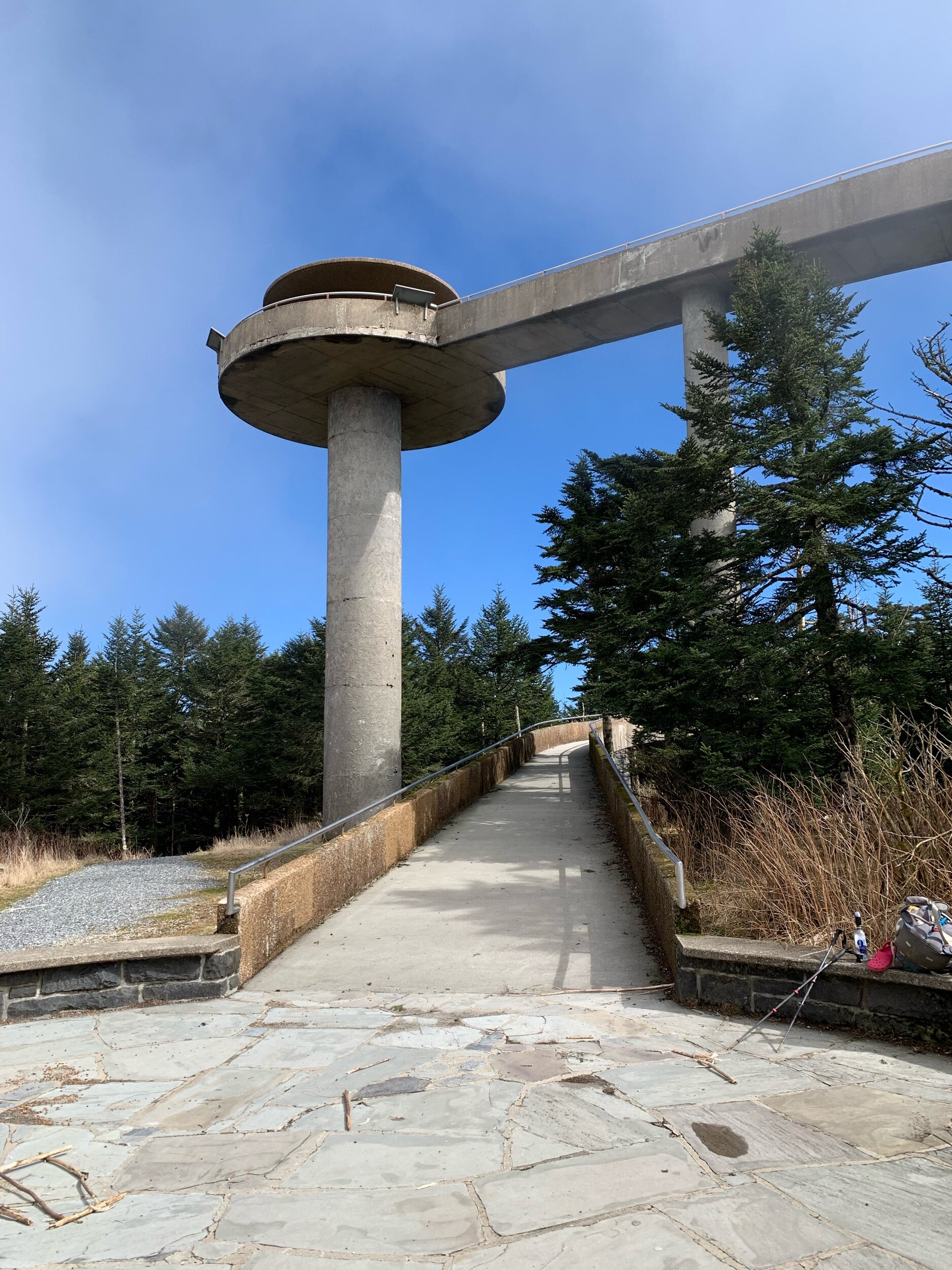
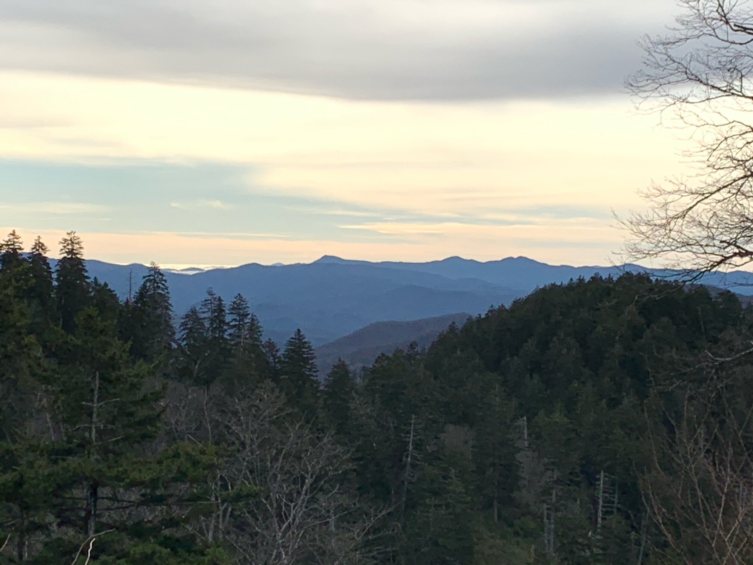
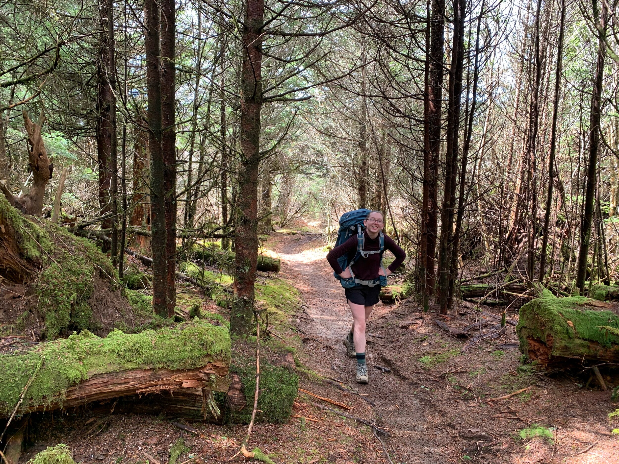
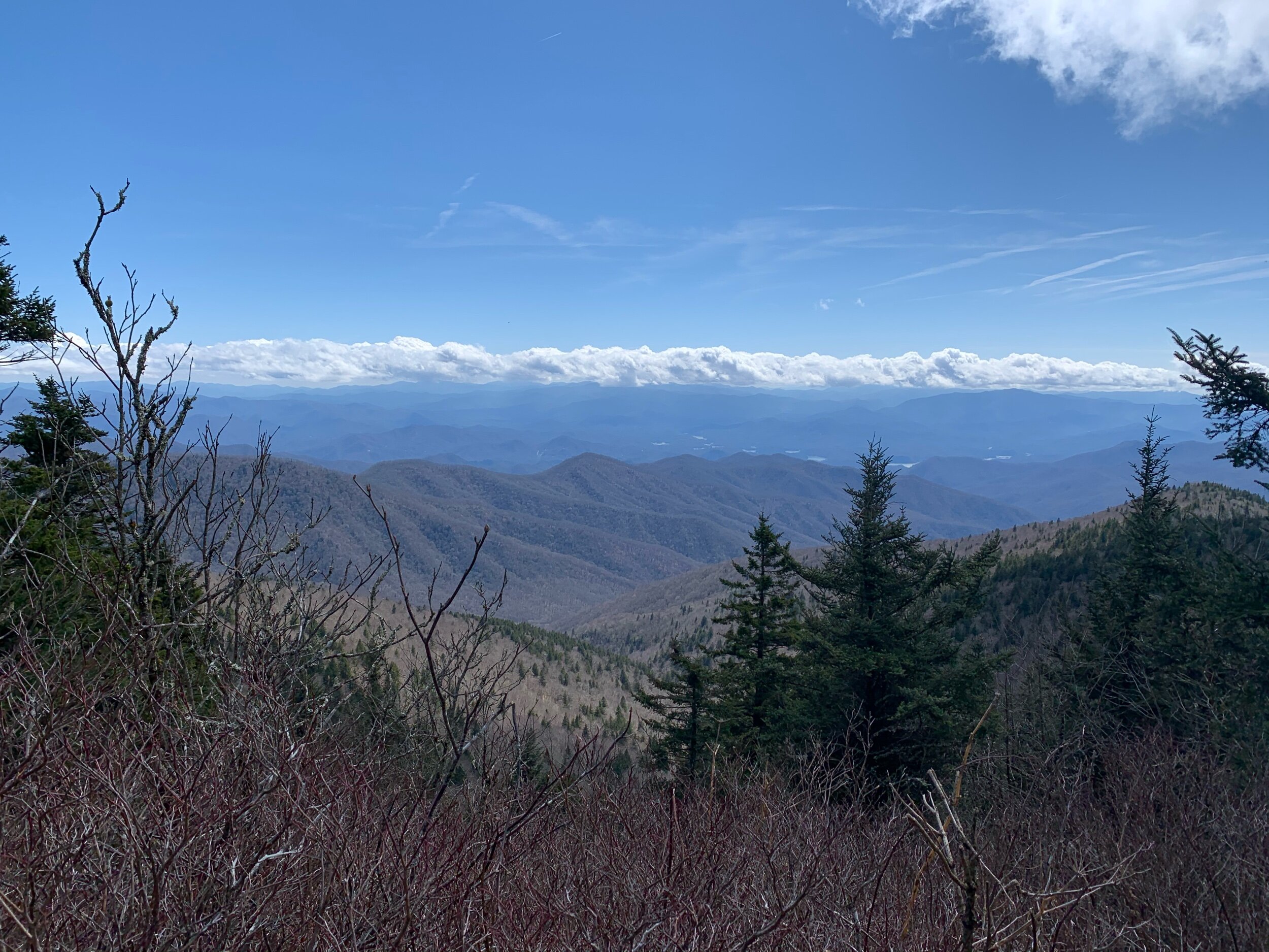
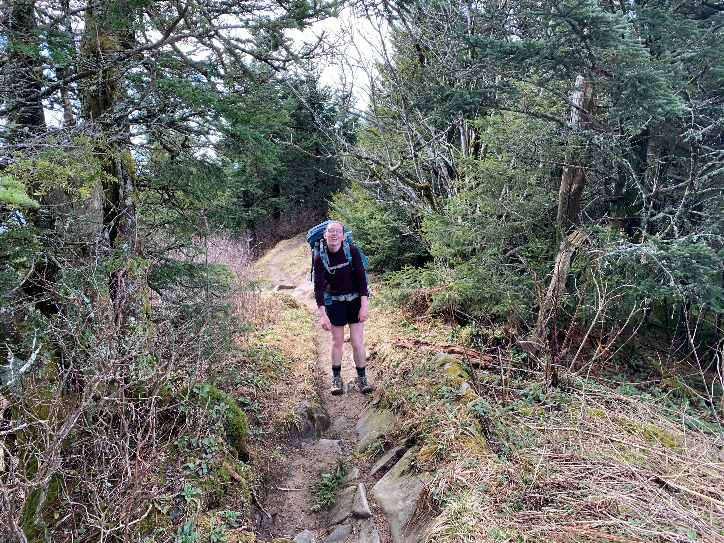
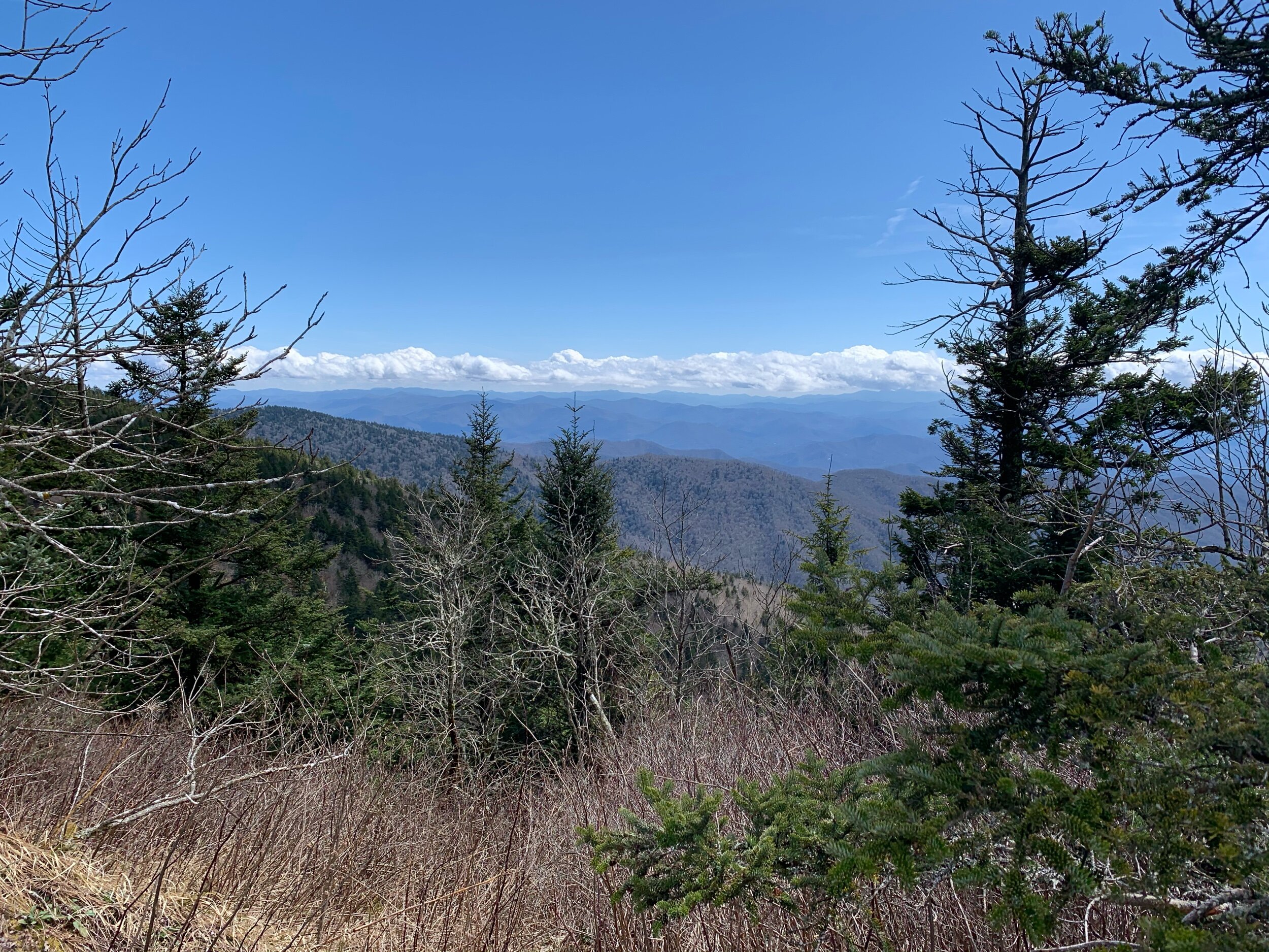
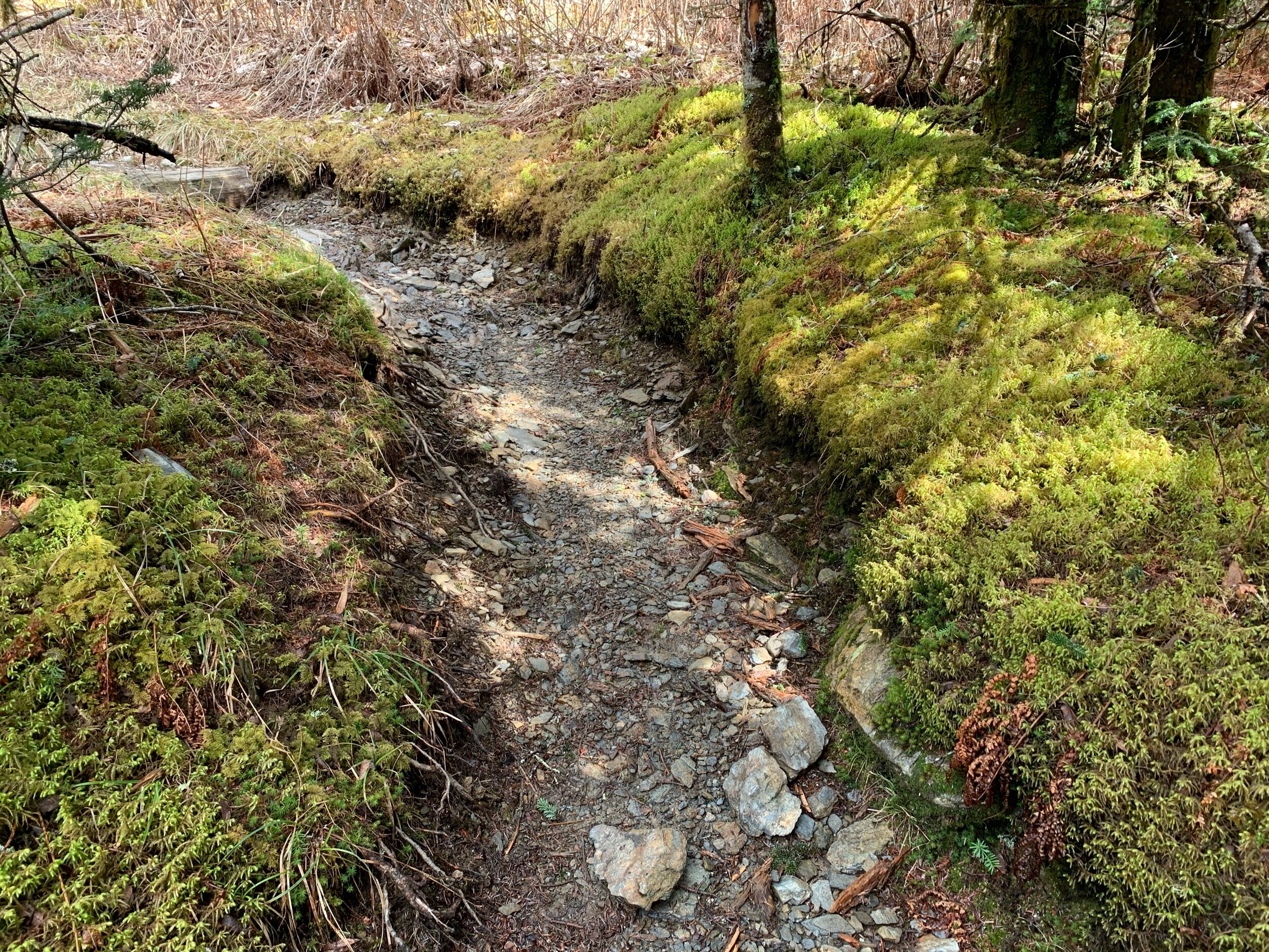
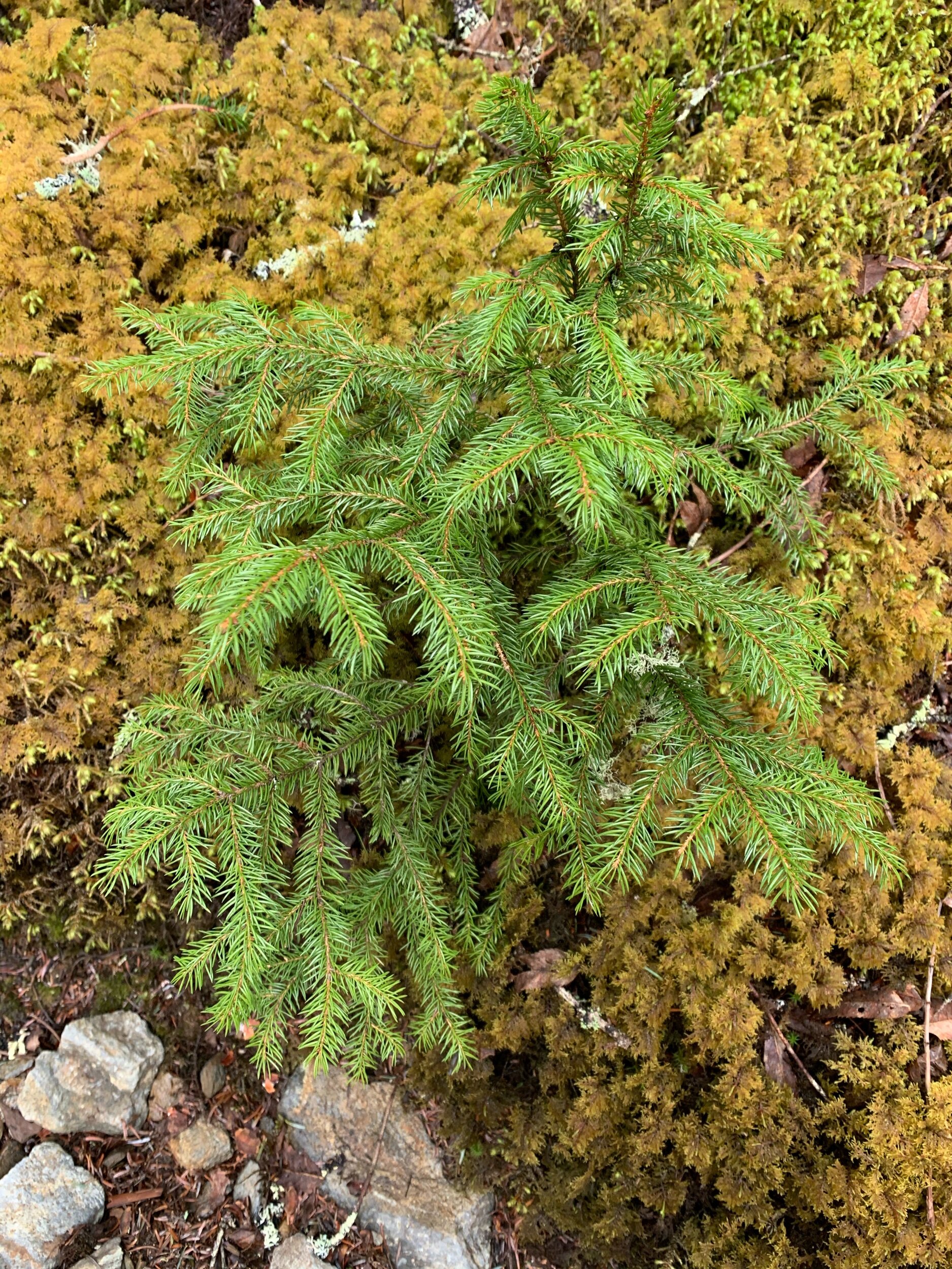
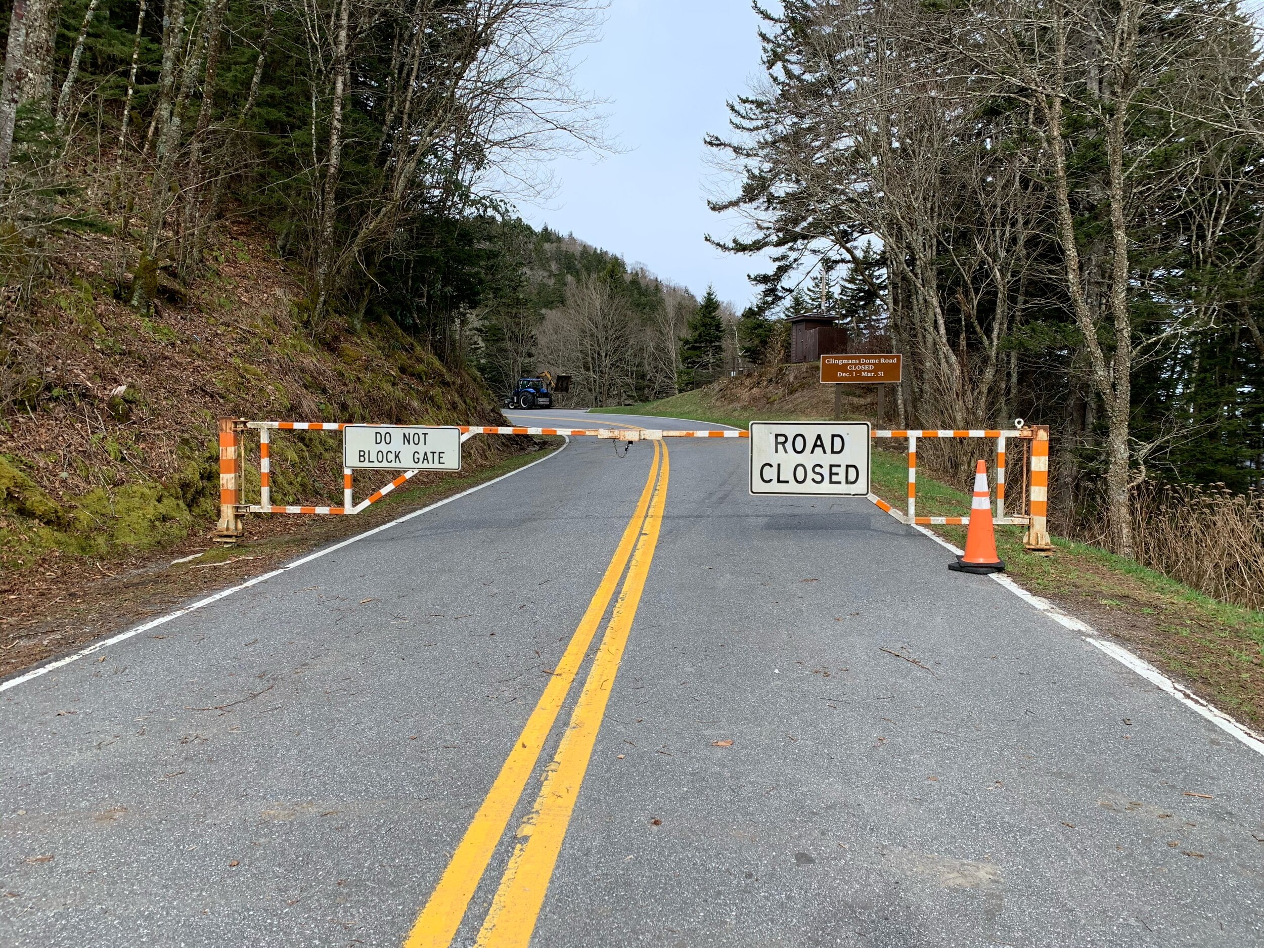
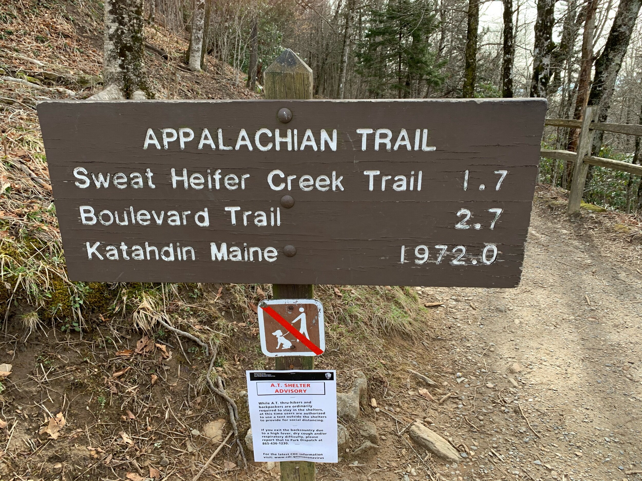
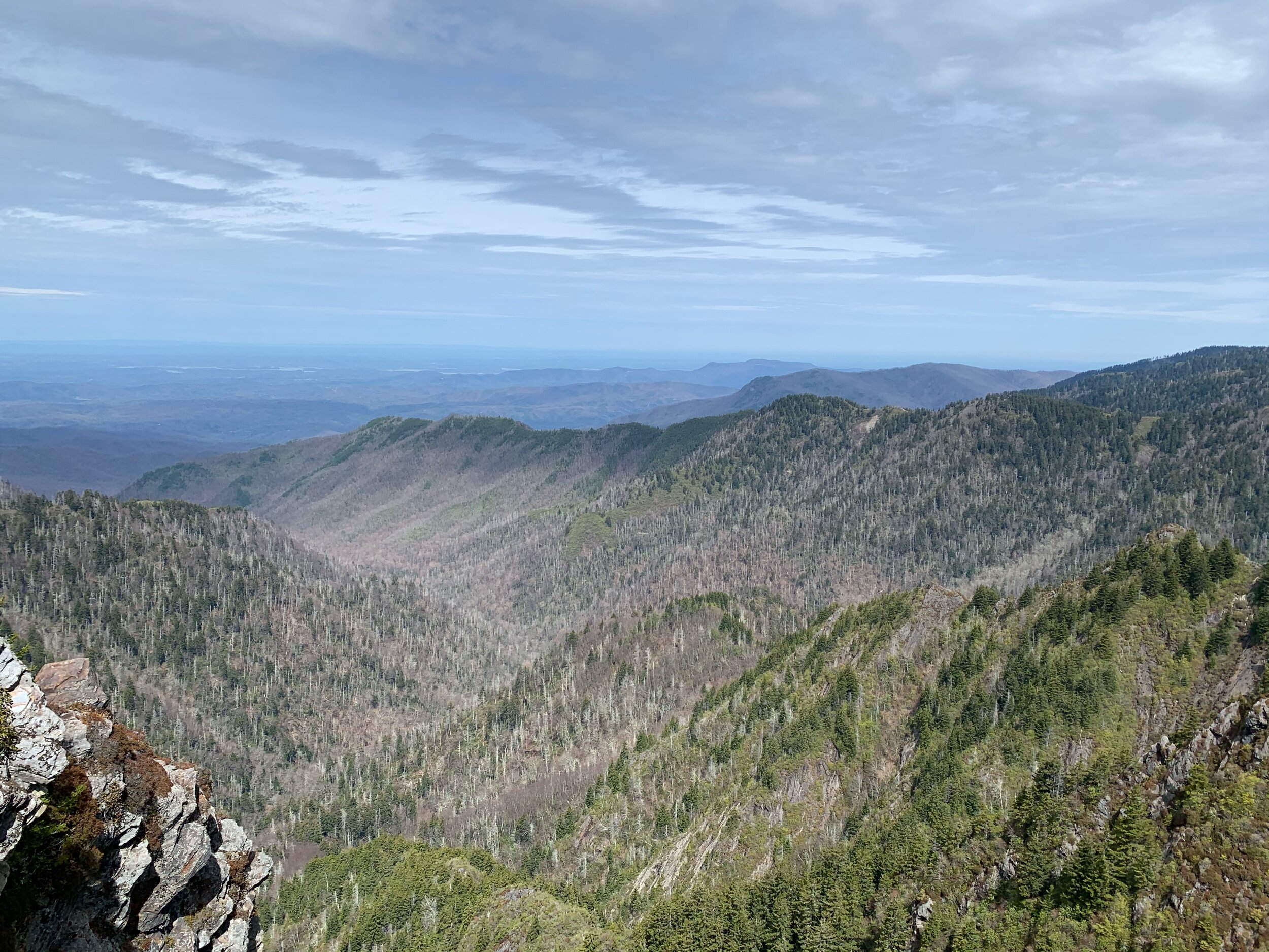
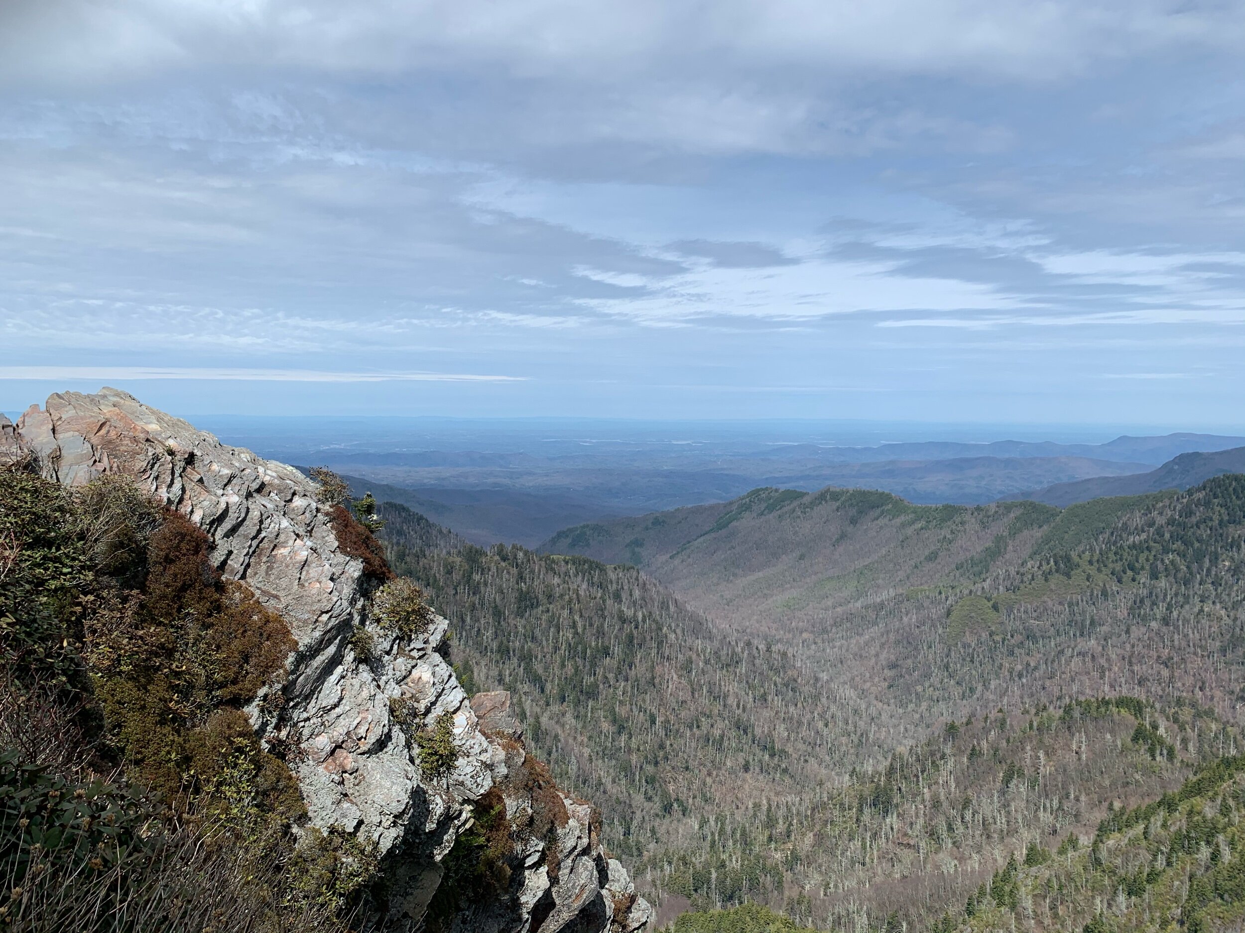
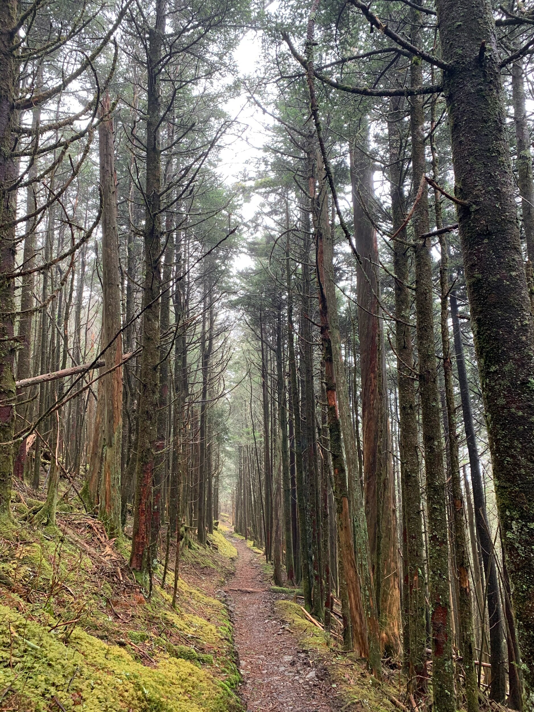
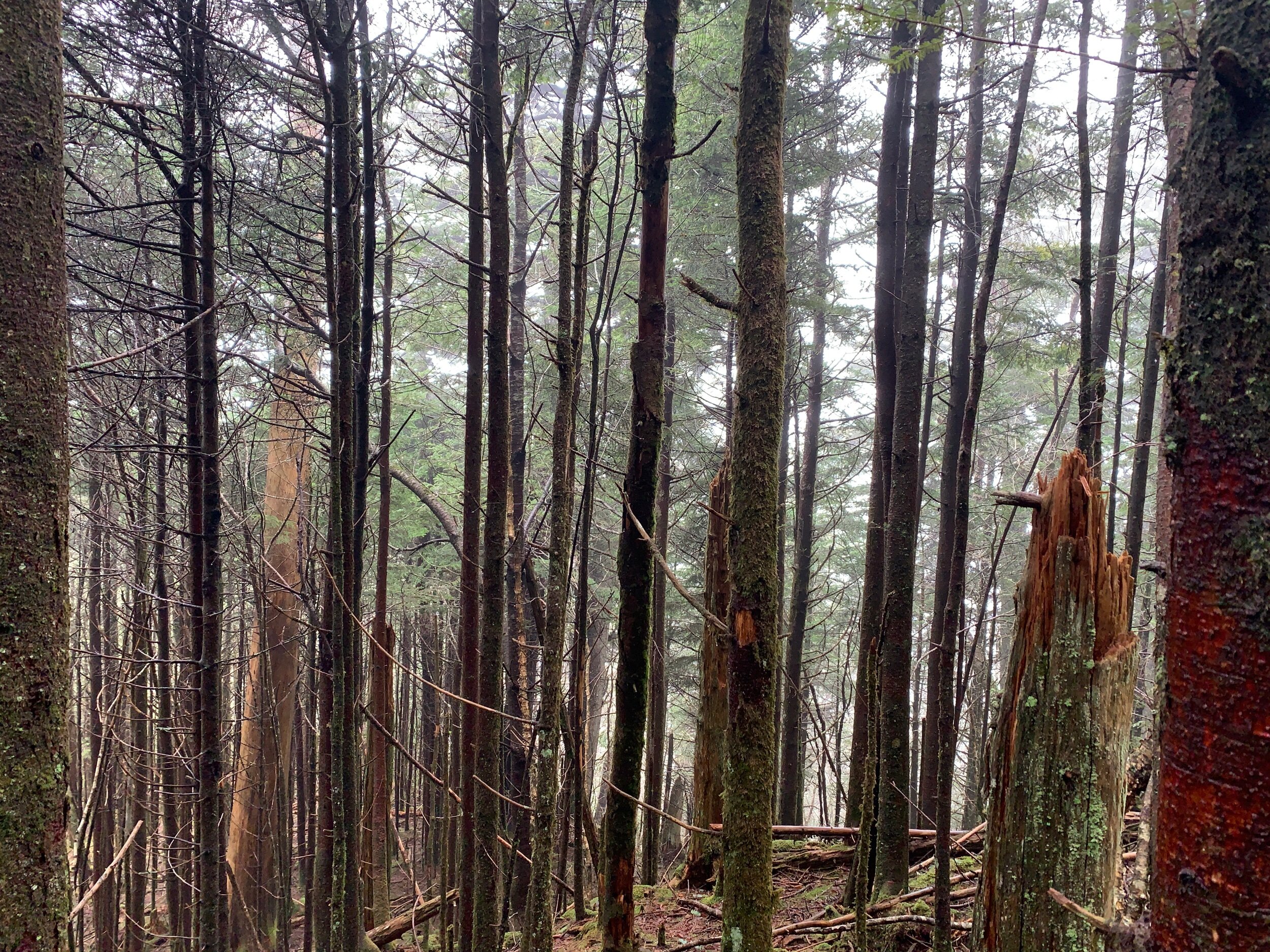
The Great Smokey Mountains are probably one of the more famous national parks behind Yellowstone and Yosemite. Known for its stunning vistas and temperate rain forest vibe this was probably one of the best trail sections we have done. The Smokies begin by passing over Fontana Dam, a major milestone on the AT. Trails were well built and maintained allowing for gentle gradients and switch-backs to climb and descend from the high peaks. The trail followed the main ridge line through the park which gave us a great view of where we had been, and where we were going. But this meant that most of the time we were on 4 foot wide knife edges between peaks, with thousand foot drops on either side. But being below the timberline, this was not as precarious as it sounds. The tall pine forest was carpeted with a thick bed of moss and loam with picturesque photos around every corner. The park has a distribution of superb sturdy little stone shelters, which unfortunately we could not make use of due to social distancing. Our six days in the Smokies started with remarkably clear weather and high spirits which were unfortunately drowned by the final two days of rain. This turned our trail into a stream, resulting in wet feet that never dried. Our time in the smokies ended with a drive to a hotel and the dissolution of our Trail Family as everyone heeded the advice of the ATC and headed into their respective quarantines across the eastern coast. A week long backpacking trip through the Smokies is definitely worth it if you are considering a trip once this pandemic ends.

Franklin, NC

Our next big resupply was in the charming town of Franklin, NC. Conveniently located near several gaps, this town has long been a stopping point for those traveling west. Sporting a mineral shop and museum, the main drag had a nice collection of shops catering to books, coffee, froyo, knickknacks, and hiking equipment. The froyo/cafe had permanent trail magic, where past customers leave prepurchased gift cards for future hikers who wander through. We purchased our food at the local grocery store, before realizing that Dollar General sold everything we needed for half the price. We would supply solely at Dollar General for the remainder of our trip. Franklin’s beer game was strong, sporting two breweries and a slew of bars in this tiny town. We tried flights at both Lazy Hiker Brewing Company and Currahee Brewing Company before ending our night at the superb dive bar Rathskeller. We enjoyed our time there, despite the fact that a town so focused on hikers did not believe in sidewalks or crosswalks.